Located in northern Arizona, the Walnut Canyon National Monument offers a breathtaking and enriching hiking experience that takes visitors on a journey through ancient history and natural beauty. This article will guide you through the wonders of the Walnut Canyon National Monument Trail Hikes (Flagstaff), providing valuable information about the hikes, the fascinating Sinagua ruins, the diverse flora and fauna you may encounter, as well as tips for a successful and safe hiking adventure.
What is the Walnut Canyon National Monument?
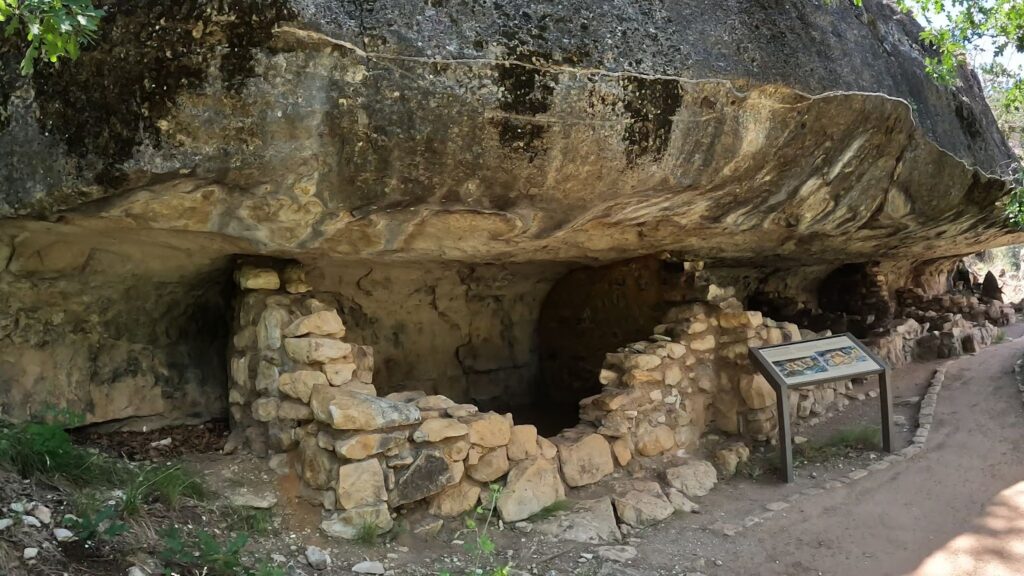
The Walnut Canyon is a well-preserved and remarkable canyon formed by Walnut Creek, carving out the canyon over millions of years. The National Monument provides an incredible Island trail that will take you deep down into the canyon. The Rim Trail, which is around the top rim of the Canyon, is an easier trail to explore so may be an easier option for some visitors not wanting to take the hike down and up from the Island. It’s breathtaking and you also see the cliff dwellings throughout the valley.
Therefore, you’ve got to plan a visit to this remarkable national monument!!
How the Walnut Canyon Was Formed
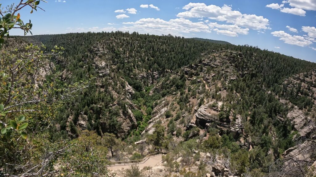
In the pine forests near Flagstaff, Arizona, the steep Walnut Canyon severs the rolling plateau. Twenty miles long, 400 feet deep, and ¼-mile wide, it was carved by Walnut Creek over 60 million years. The canyon rim has a high elevation of 6,690 feet. The canyon’s floor is 350 feet lower. Within its winding walls are natural riches – an abundant mix of plants and animals drawn there by water and varied topography.
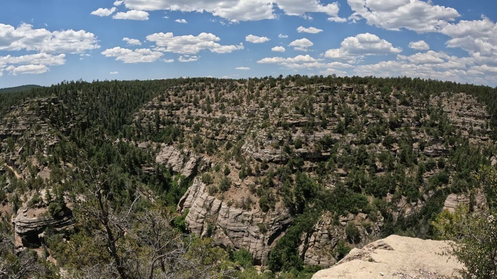
Walnut Creek
Walnut Canyon was formed by Walnut Creek. Flowing water and wind have worked for millions of years causing the erosional forces to carve a canyon nearly 500 feet deep. Marine fossils can be found in the limestone ledges of the upper canyon. Which shows you how forceful the flow of water and wind is. This creek circles around three sides of a high plateau in a U shape, almost creating an island.
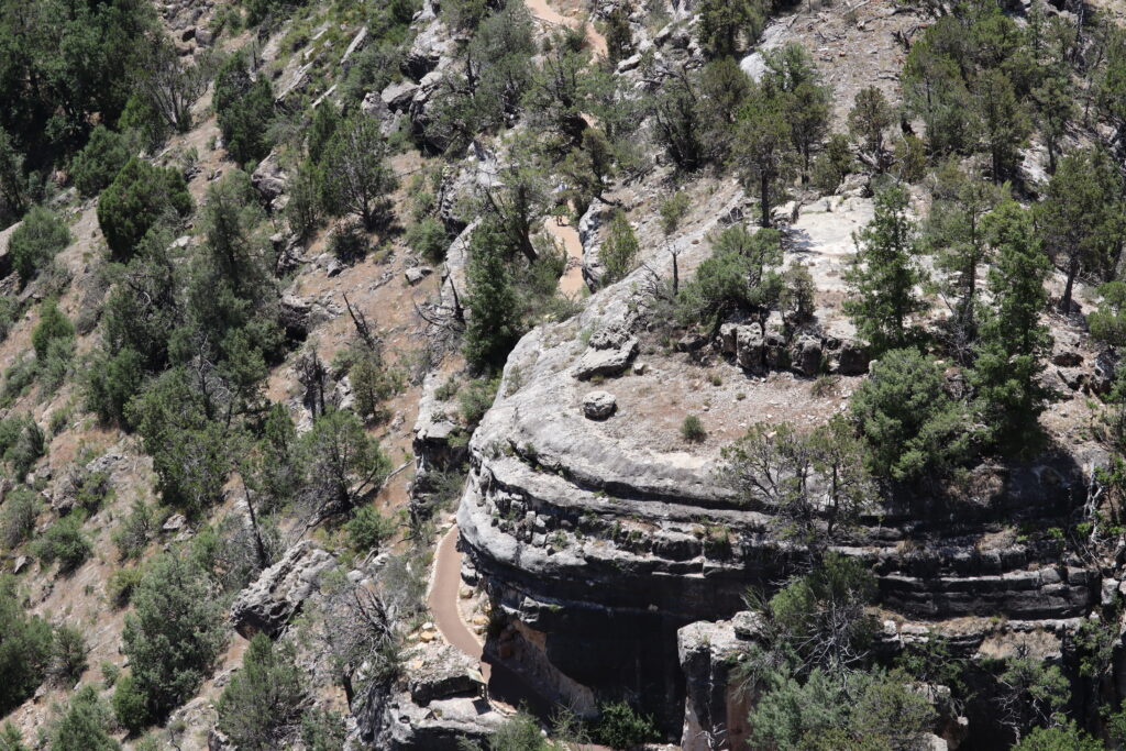
The Walnut Creek, responsible for much of the erosion that formed the Walnut Canyon Formation, is a tributary of the Little Colorado River. The Little Colorado River eventually flows into the Colorado and onto the famous Grand Canyon. Therefore, the Walnut Creek is partially responsible for the beautiful Grand Canyon!
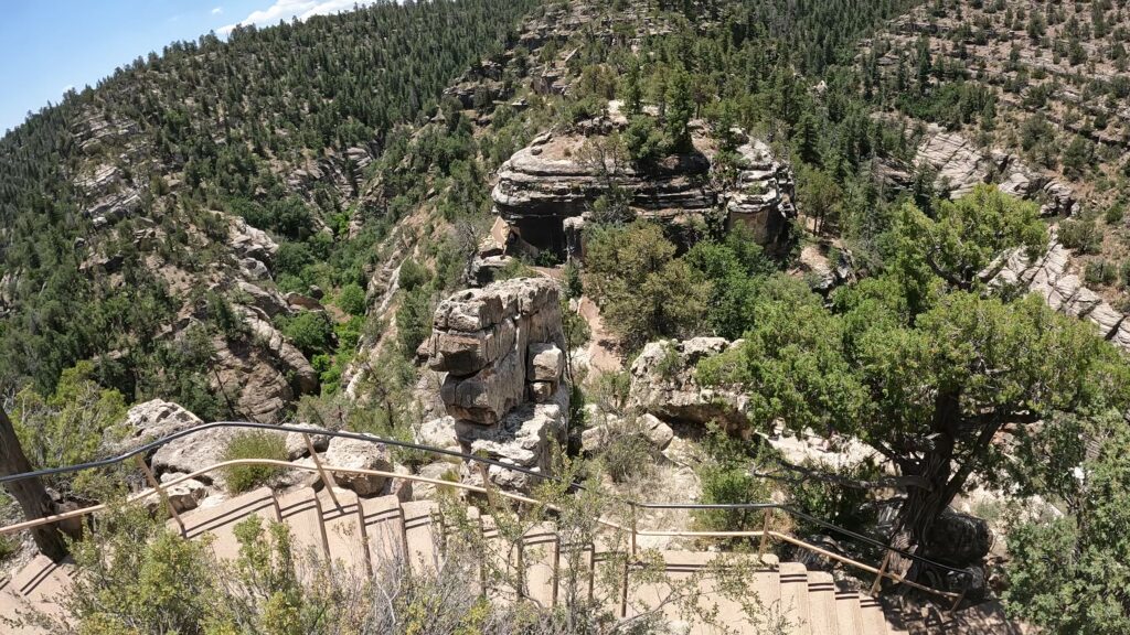
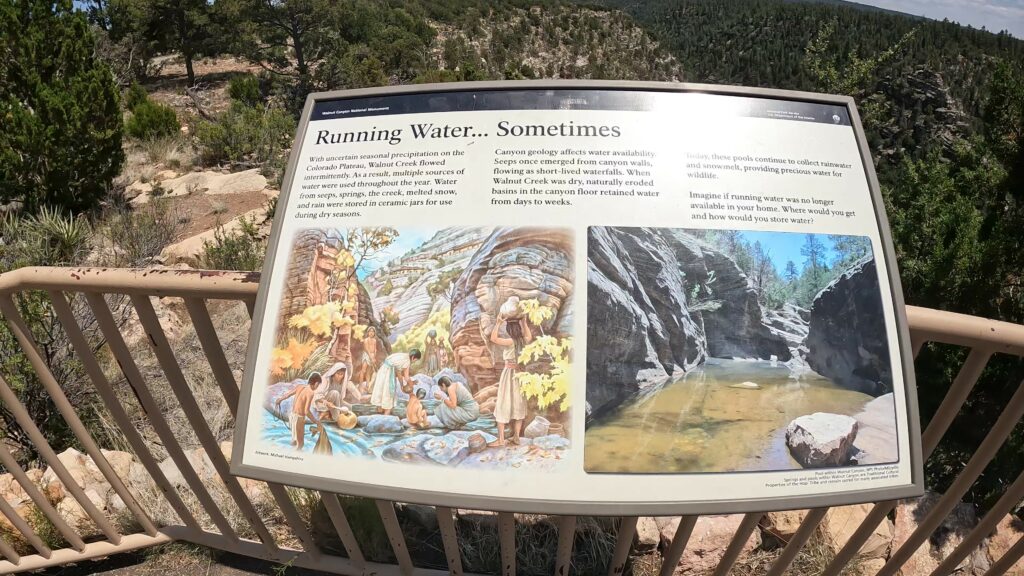
On the Canyon floor, water flowed intermittently, which provided the livelihood of the community. At the bottom were much-needed shaded pools of water they used between rains. The community would go to these pools and bring water up the cliff side. In the spring, snowmelt flowed through the passageways, thus, they used pots and other means to capture the water they could before it got to the canyon floor.
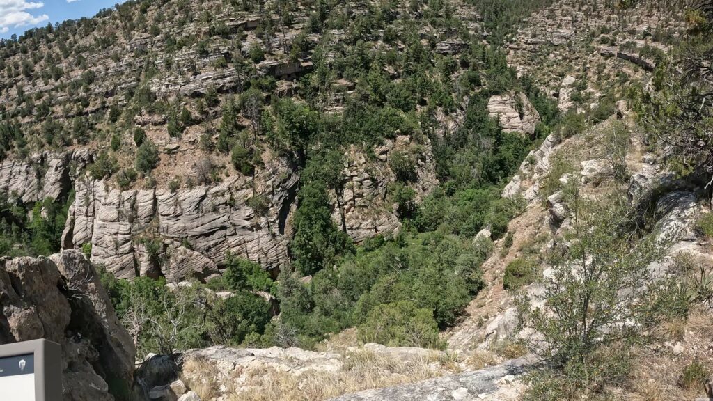
These same Sinagua people also built the Tuzigoot National Monument, Montezuma Castle, and Montezuma Well National Monuments, the Wupatki National Monument, and other cliff dwellings in Arizona.
History of People in the Canyon
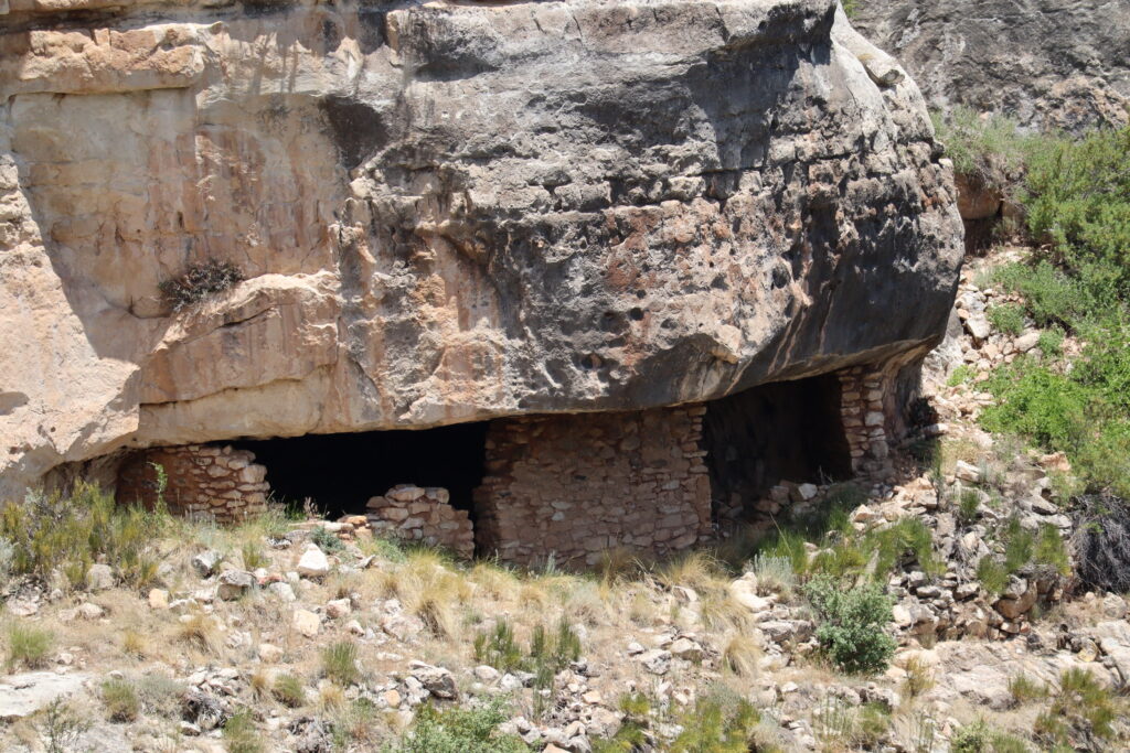
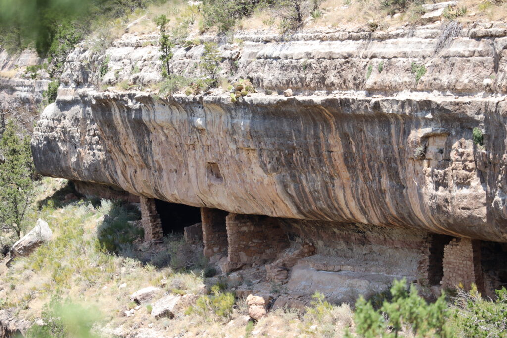
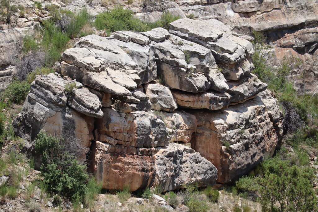
The canyon has various layers of slightly differing hardness in the exposed Kaibab limestone that forms the upper third of the canyon walls. From about 1100 to 1250 A. D., many Sinagua Indians took advantage of shallow alcoves in the limestone cliff walls that had been eroded over millions of years by flowing water.
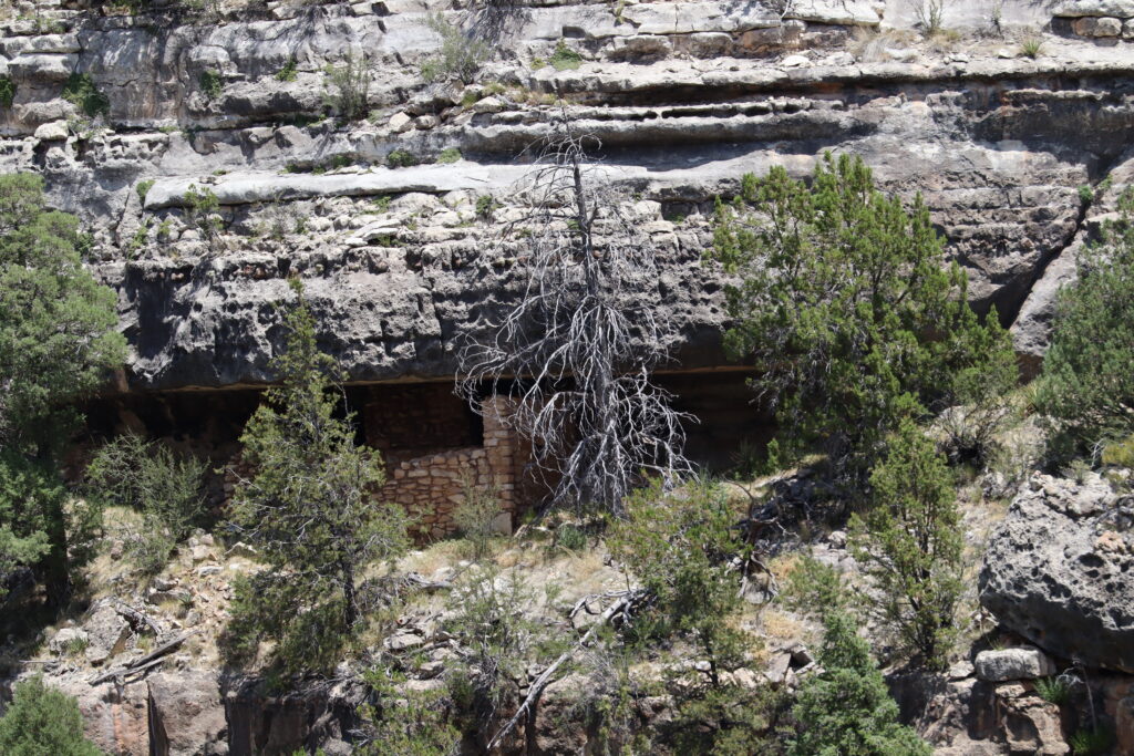
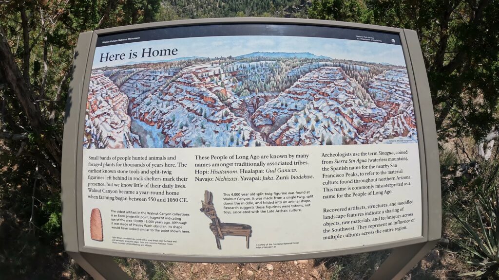
The Sinagua, which is Spanish for “without water”, learned the ability to make use of a mostly dry region into a producing land growing small gardens of corn, squash, and beans. They understood the value of using the gifts of the natural world.
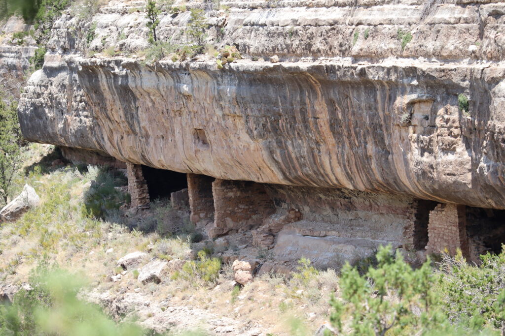
The Walnut Canyon has a long human history. Artifacts show that ancient peoples, who traveled throughout the Southwest thousands of years ago, occupied the canyon at times.
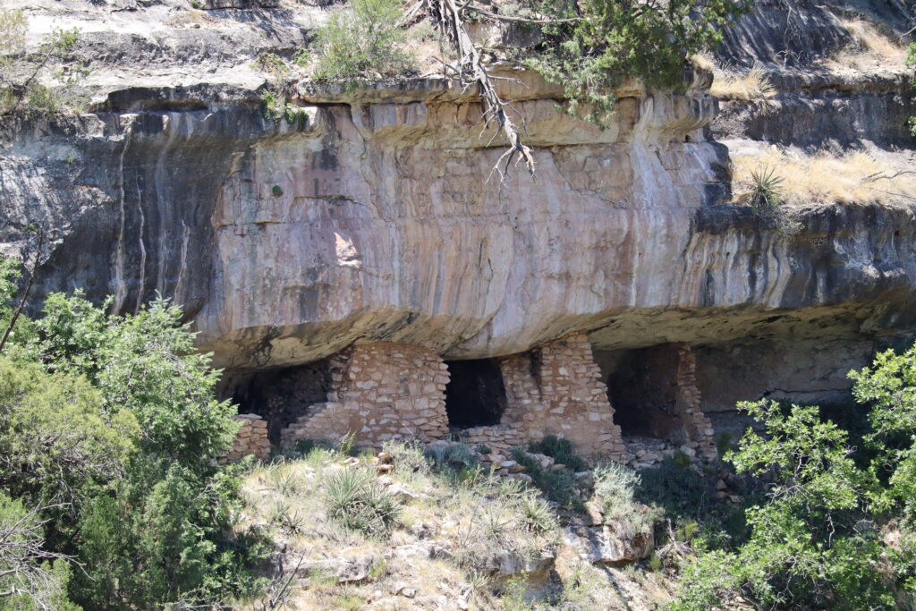
Later came the first permanent inhabitants, who flourished in the region from about C.E. 600 until 1400. Archeologists labeled this prehistoric culture Sinagua, from the old Spanish name for the region, Sierra de Sin Agua, or “mountains without water.”
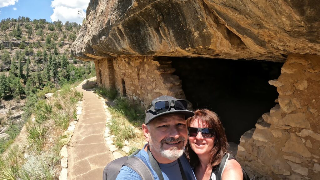
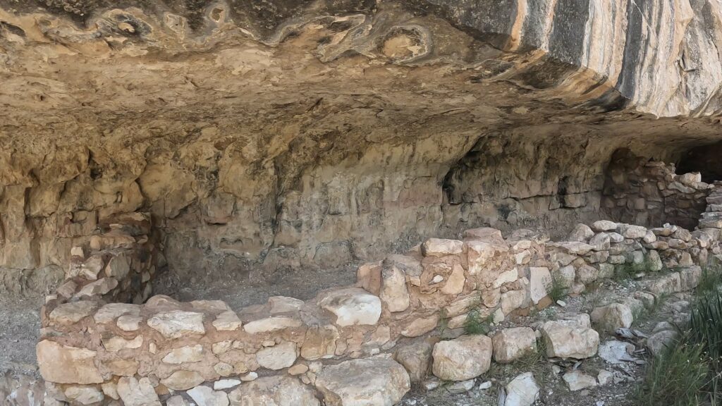
Scattered families farmed the canyon rims for centuries, growing small gardens of corn, squash, and beans. During the 1100s, many moved into limestone alcoves below the canyon rim, where they constructed the historic cliff dwellings we see today. This community thrived for another 150 years before the people moved on.
Importance of the Site
This entire region including the Flagstaff Area National Monuments has been home to Native people since time immemorial.
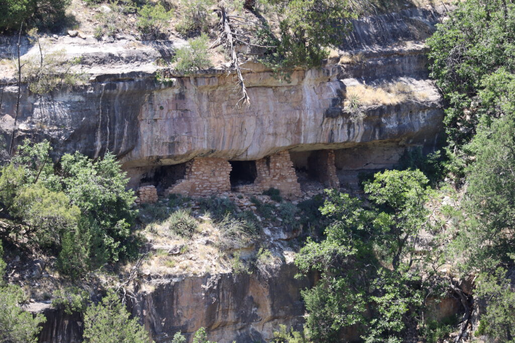
The Flagstaff Area National Monuments (Walnut Canyon, Sunset Crater Volcano, and Wupatki National Monuments) are places of immeasurable importance to Native people in the Southwest. Wupatki shares boundaries with the Navajo Nation, and a total of thirteen federally recognized tribes are traditionally associated with the Monuments. Park staff have been working with tribal people for many years and are creating ever-better collaborative tribal partnerships.
Hence, please respect the site with that in mind!
Park History
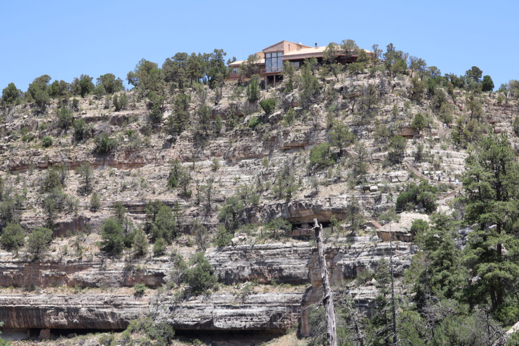
The Walnut Canyon National Monument was established by President Woodrow Wilson on November 30th, 1915 to preserve the ancient cliff dwellings. Originally, it was managed by the U. S. Forest Service as part of the Coconino National Forest, then the National Park Service took over the monument in 1934. There are a variety of archaeological and natural resources preserved on approximately 3, 600 acres. This historic site is something to see!
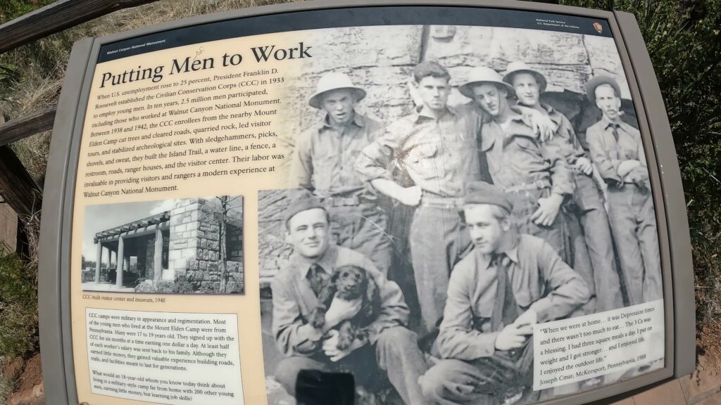
In the early 1900s, many visitors came to visit but would remove artifacts for them to bring home. The need for wanting to keep this canyon intact for future generations helped drive the change in the management to the National Park Service.
What to Expect on the Trails?
The site has two main trails: Island and Rim Trails. The Walnut Canyon National Monument Trail Hikes (Flagstaff) encompasses the Island Trail, a 1.6-mile loop that winds through the rugged canyon landscape. While it may not be the longest hike you’ll ever embark on, it certainly packs a punch in terms of breathtaking views and historical significance.
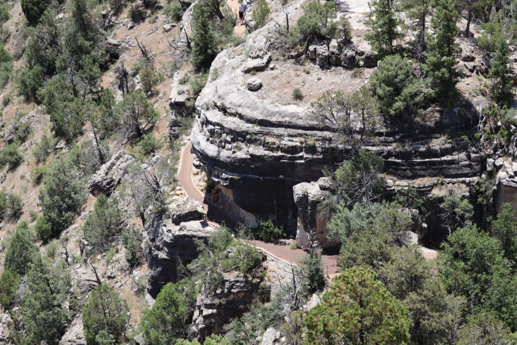
Don’t be fooled by the Island Trails relatively short distance – the trail features a moderate level of difficulty. Be prepared for some steep sections and uneven terrain, which adds to the adventure and keeps you on your toes. Remember to bring sturdy footwear and plenty of water to stay hydrated along the way.
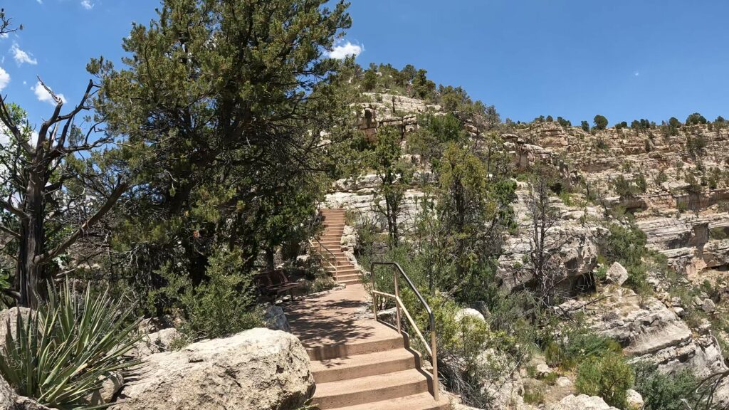
Island Trail
What to Expect on the Island Trail?
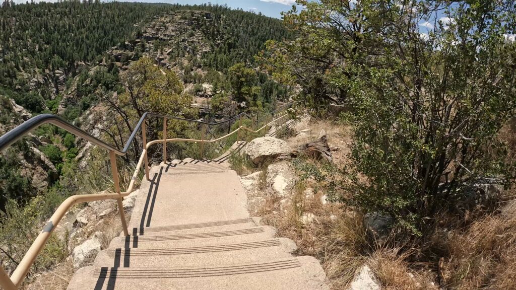
The Island Trail takes you deep down to the canyon where you walk through 25 cliff dwelling rooms. A partially rebuilt pueblo and pithouse, and over 300 cliff dwellings are visible across the other side of the canyon. The trail has several sets of stairs and descends 185 vertical feet into the canyon and returns similarly. The trail is well-maintained and paved, but not wheelchair accessible. The steep trail terrain contains a total of 736 stair steps.
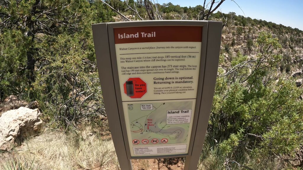
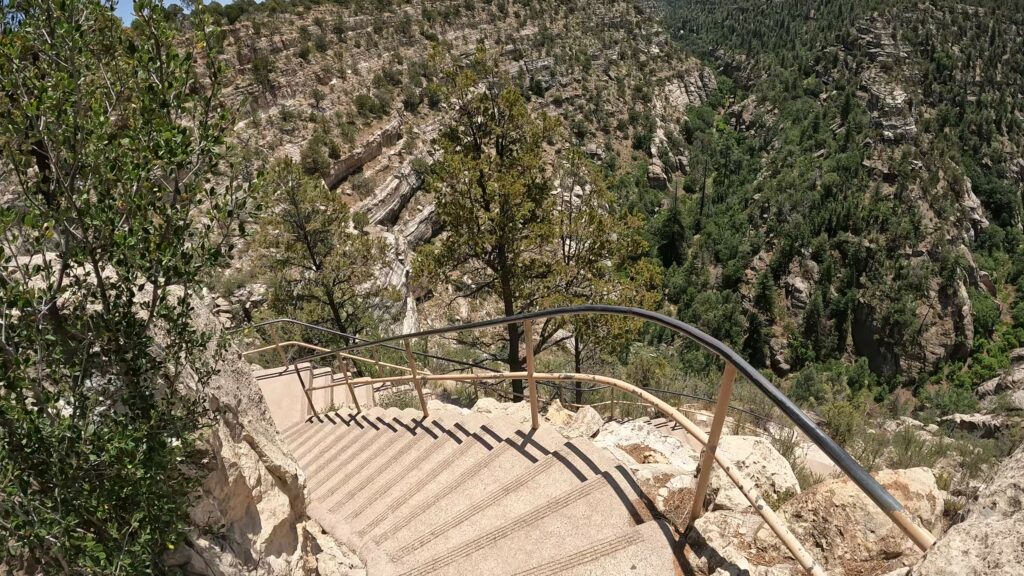
To begin the hike, a series of 240 steps with railings take the hikers down the cliff from the Visitor Center, dropping some staggering 185 vertical feet at once. The island trail is considered a moderate to strenuous trail with the descent and ascent required. Take the ascent slowly, and stop often, rest, and enjoy the scenery, especially being at nearly 7, 000 feet elevation if you are not acclimated.
It’s a one-mile loop trail with an elevation change of 370 feet. You should plan on one to two hours to complete the island trail or longer if you want to take more time on your way up.
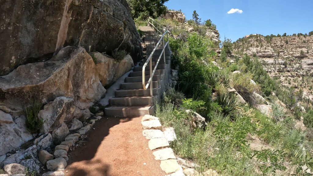
Ensure you stay on the trail as there are some cliff edges to the right of the trail once you get down to the island portion of the trail. There are no fences or other barriers put up so stepping off would be a possibility if you get off of the trail. It’s a long way down so best to avoid it. This part of the trail flattens out as you traverse around the island until you reach the stairs to head back up again.
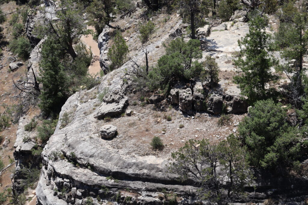
Additional Island Trail Pictures
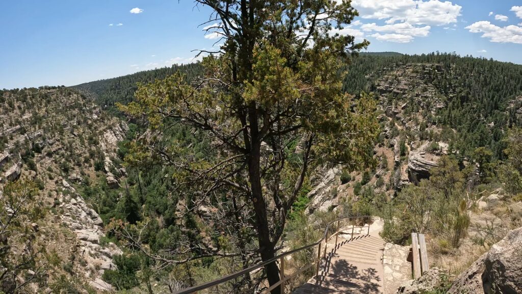
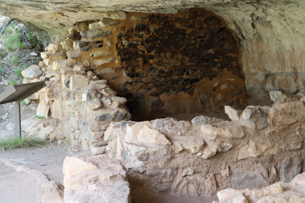


The Rim Trail
What to expect on the Rim Trail?
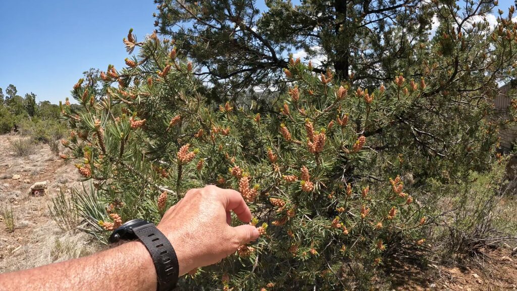
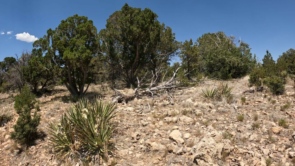
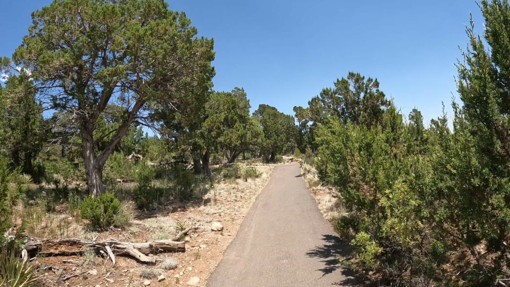
The Rim Trail is a paved trail following the rim of the canyon with overlooks and views into the canyon including the island trail and cliff dwellings below. Along the trail are interpretive signs detailing some of the plants and flowers found in the area. Several benches are also provided.
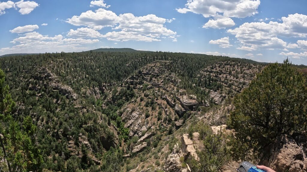
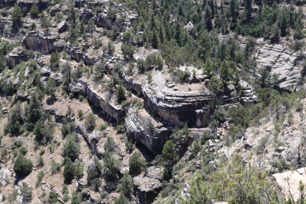
The Rim Trail is a 0.7-mile-long round trip. It’s considered an easy trail to walk. Again, it has lots of benches to sit down and that kind of thing. The entire trail should not take more than 30 to 40 minutes. It offers a great view of the north portion of the canyon and the island trail.
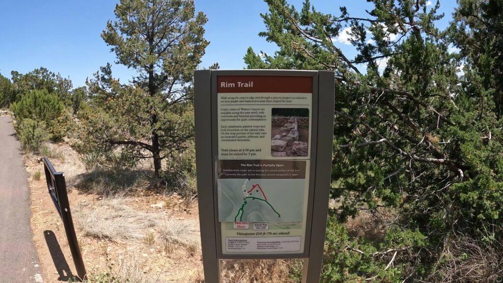
The Rim trail offers two lookouts that offer spectacular views. Remember to look at the canyon walls and you can make out several pueblo ruins built into the cliff walls.
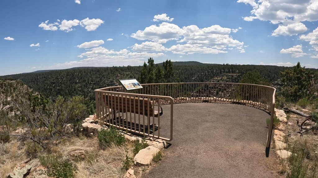
Additional Rim Trail Pictures
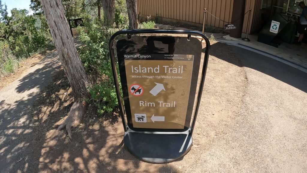
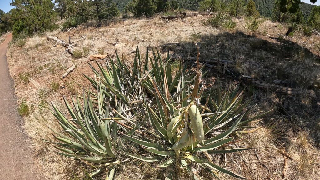
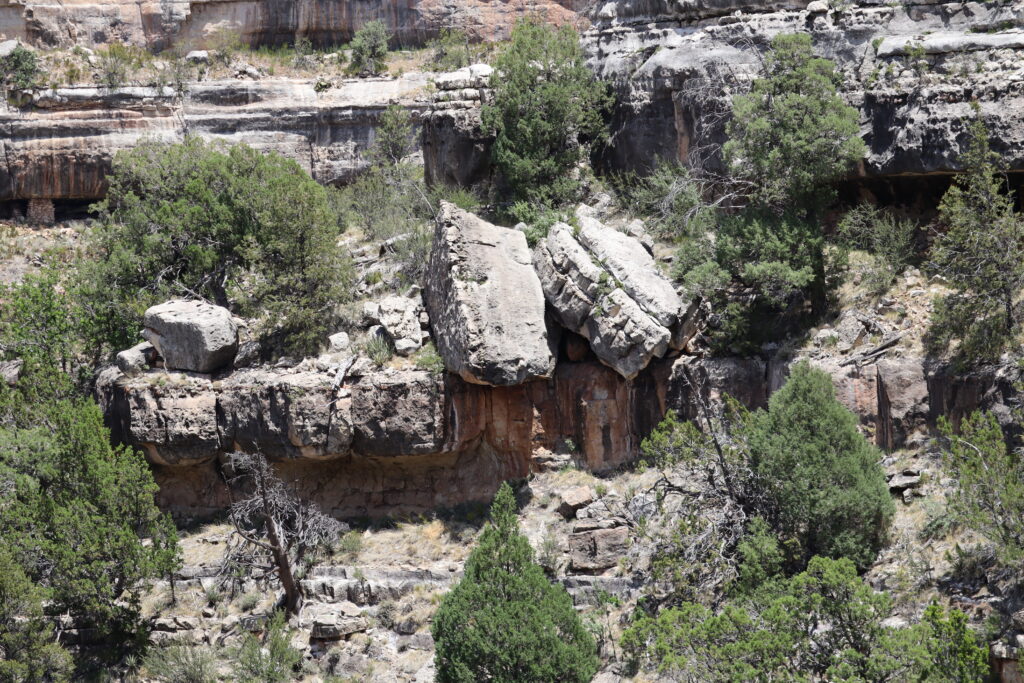
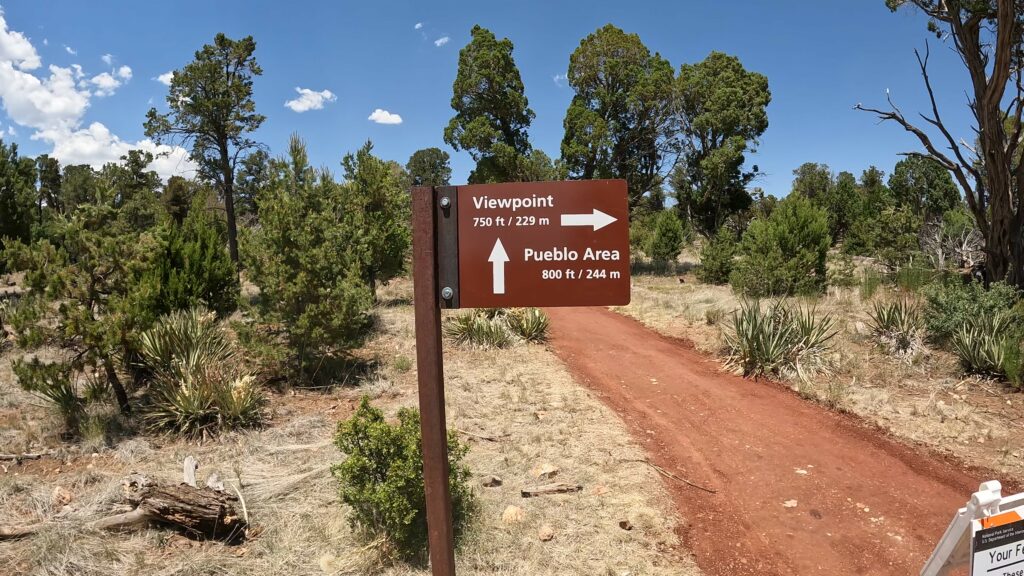
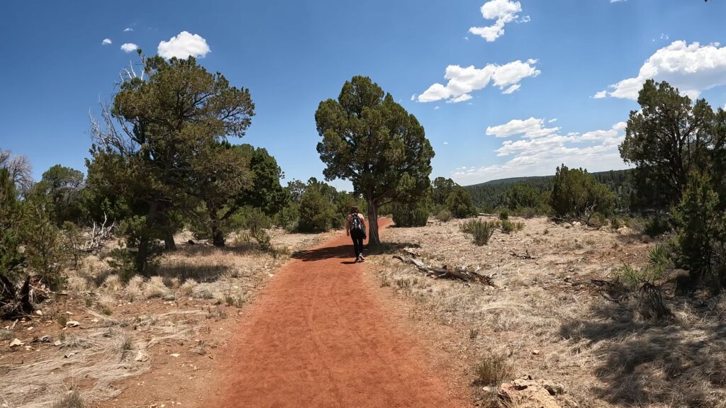
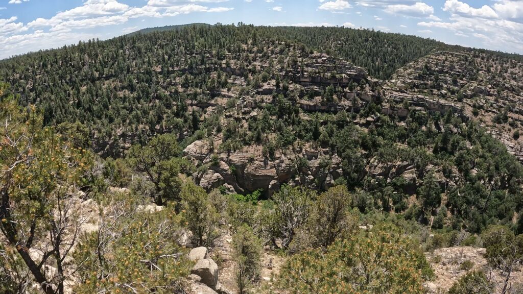
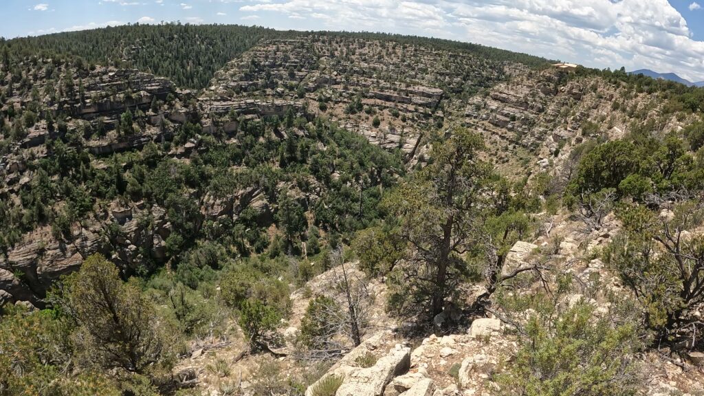
Pueblo and Pit House Ruins on the Rim Trail
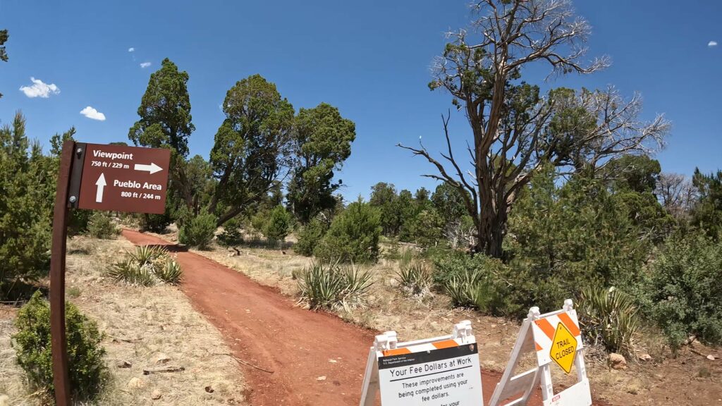
There are a few scattered ruins including a restored pit house and the wall from a two-room Pueblo dwelling. Access to the remains of these ancient dwellings is from a path on the Rim Trail or a path leading from the parking lot. However, the NPS was doing some work on the trail going to this historic site so was not able to see it up close for pictures.
Visitor Center
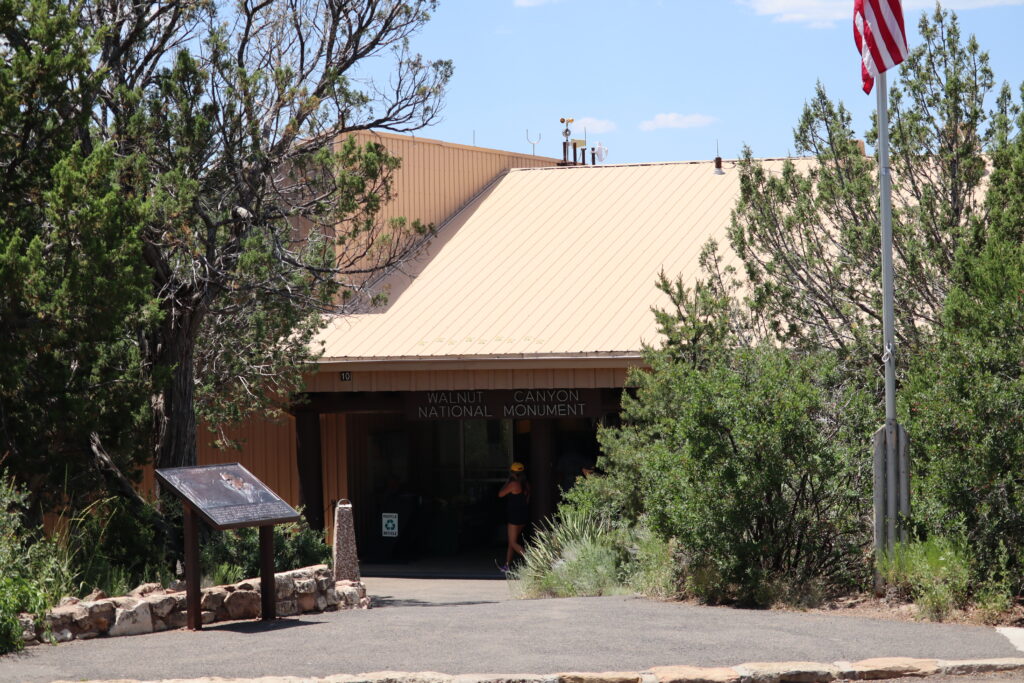
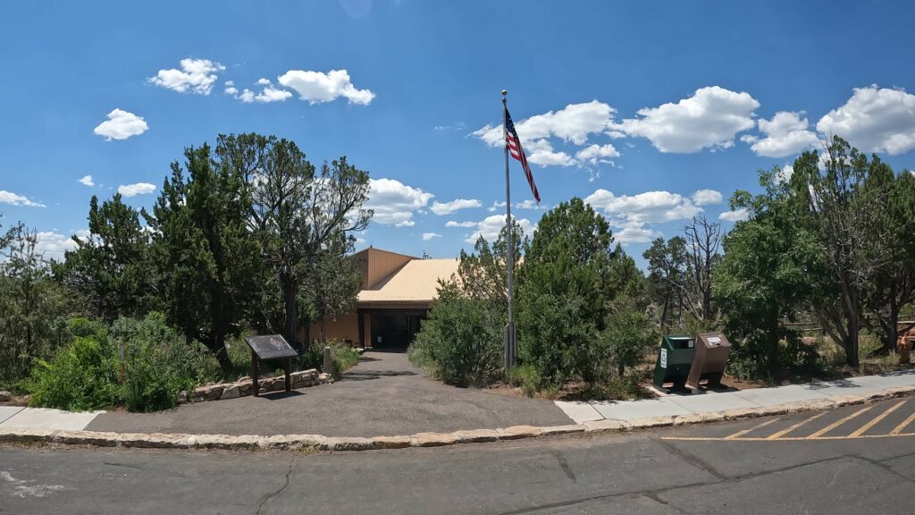
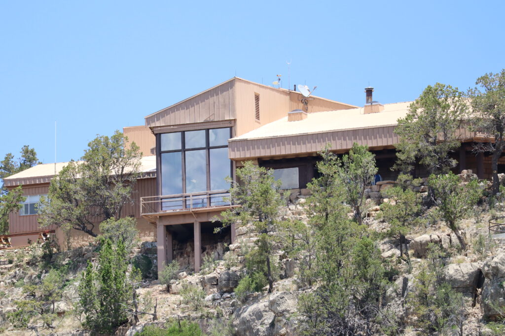
The Walnut Canyon Visitor Center and Gift Shop is open year-round (see holiday closures below) from 9:00 a.m. – 5:00 p.m. Learn about the canyon’s history, and view exhibits and artifacts in the park’s museum. The museum is located inside the visitor center and there are 2 viewpoints of the canyon from inside.
Park rangers provide information and give guided walks during much of the year. View the National Parks Service website for upcoming programs scheduled. Interpretive talks are held inside the visitor center or on the back patio. Walks begin at the visitor center and go along the park’s Island or Rim Trail.
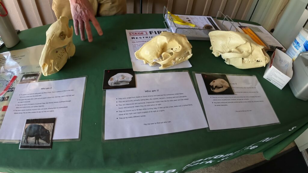
Restrooms and a picnic area are available but there is no camping area at Walnut Canyon. The closest camping areas include the Canyon Vista Campground located near Walnut Canyon and Lower Lake Mary, or the Bonito Campground located north near the Sunset Crater Volcano National Monument.
Pets are not welcome at Walnut Canyon past the parking lot and must be leashed.
Ranger Cabin
The Ranger Cabin is one of the best-preserved early twentieth-century log cabins in Arizona and one of the two oldest cabins constructed by the Bureau of Forestry that remain standing.
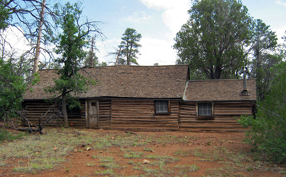
Between 2011 and 2015, the Ranger Cabin was restored, completing intermittent attempts at preservation that began in 1966. Ranger Neil Erickson noted in 1927 that “The cabin is made of logs and is now unique, and to many tourists almost as interesting as the Cliff Dwellings themselves.”
Where is Walnut Canyon National Monument Located?
The Walnut Canyon is a national monument located about 10 miles southeast of downtown Flagstaff near Interstate 40.
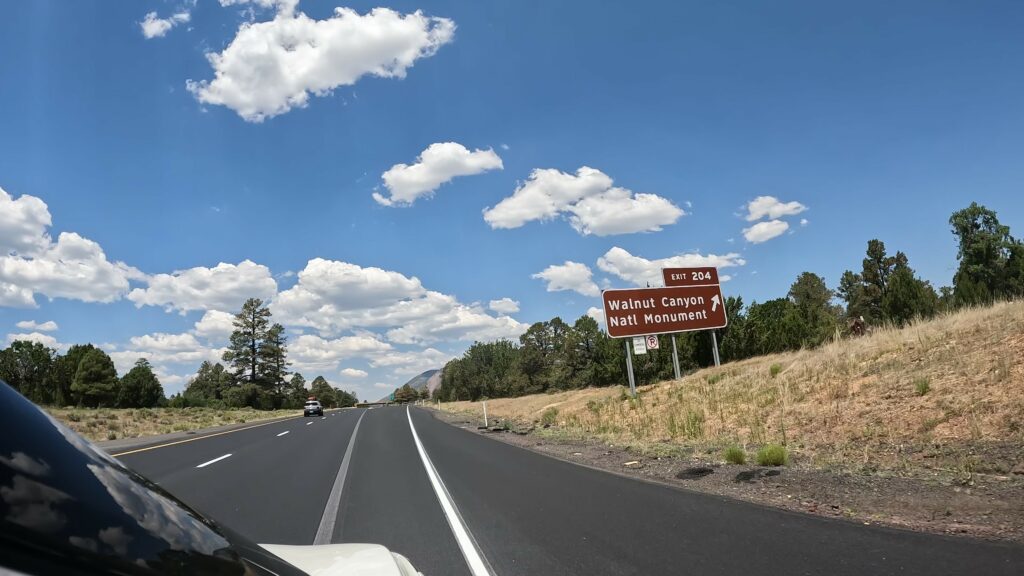
Take Exit 204 off of I-40, 7.5 miles (12 km) east of Flagstaff; drive south 3 miles (5 km) to the visitor center. Warning: Tight turnaround for towed vehicles; so a 40 feet (12 meters) maximum length advisory.
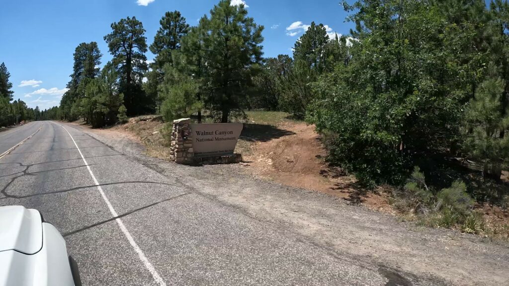
Nearby Attractions
As mentioned above, there are many nice attractions near Flagstaff. So, if heading to the Meteor Crater Natural Landmark, consider exploring these attractions as well:
East of Flagstaff
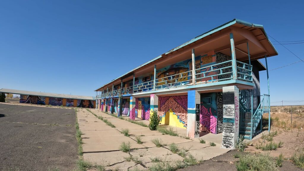
KOA Swimming Pool at Two Guns Graffiti
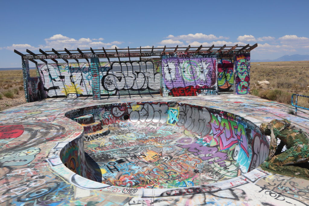
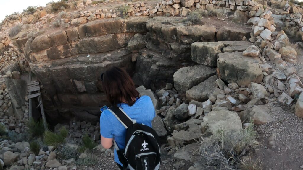
Two Guns Apache Death Cave, Pueblo Ruins, and the old Route 66 Diablo Bridge
Winslow, AZ: Standin’ On the Corner and 9/11 Remembrance Park
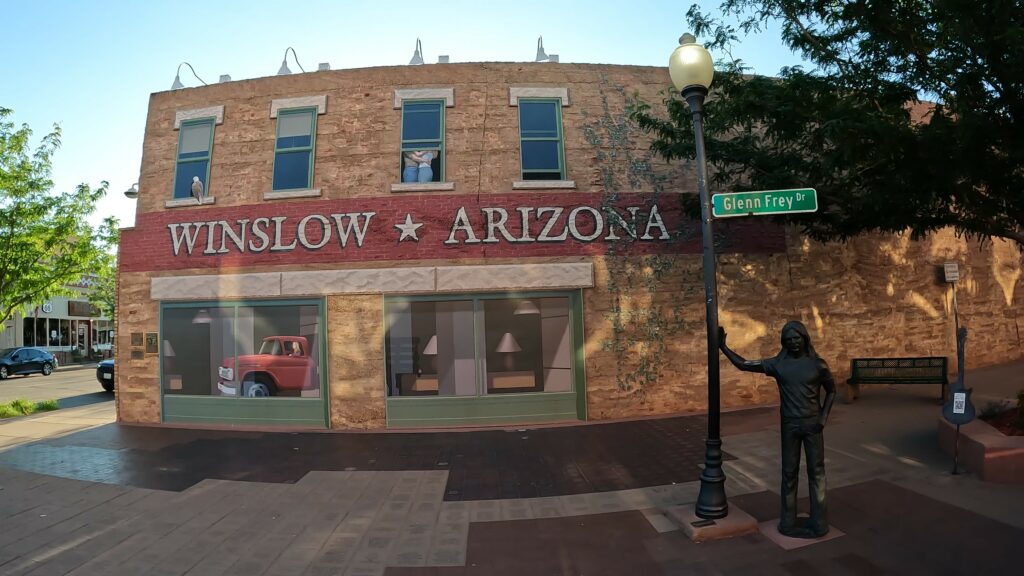
Holbrook, AZ: Old Route 66 Town

Meteor Crater
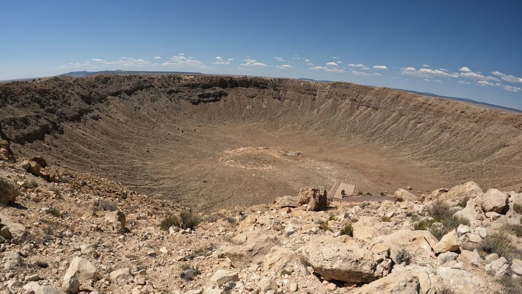
Petrified Forest National Park
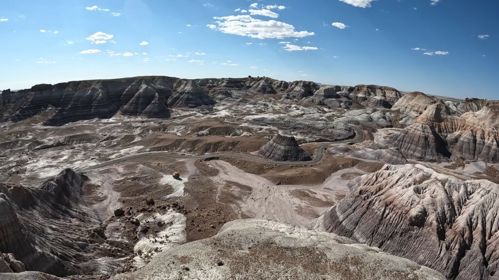
North of Flagstaff
Wupatki National Monument

Sunset Crater Volcano National Monument
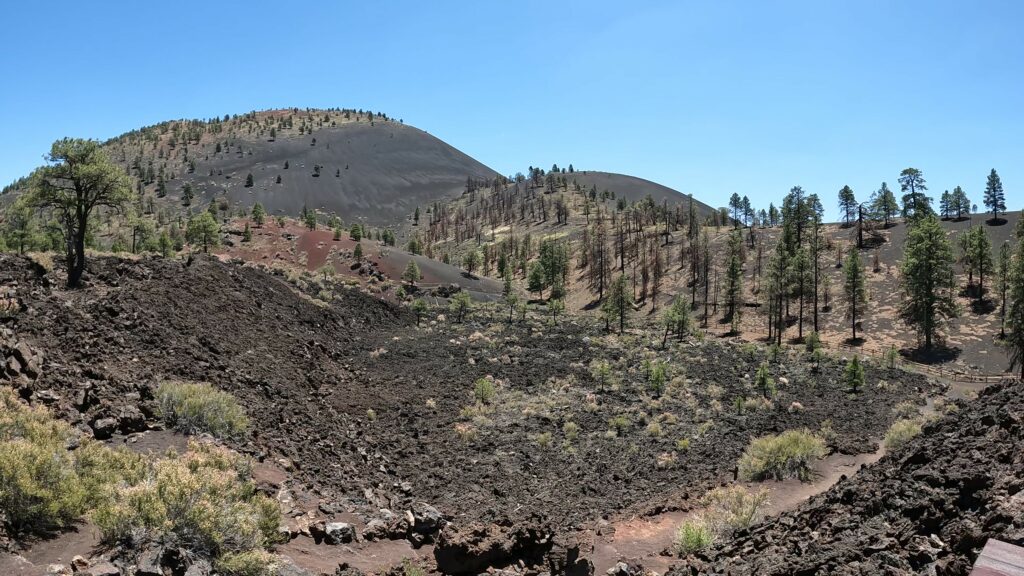
Abandoned Anasazi Inn Gray Mountain
Conclusion
The Walnut Canyon National Monument Trail Hikes (Flagstaff) is a great historical site to visit and explore if you’re anywhere near Flagstaff, Arizona. The trails were a lot of fun and the views were incredible. Don’t overlook this national monument! Make a point to take a closer look at this great place.
If you like this content, I know you’re enjoying all the other epic Arizona trip videos around Flagstaff and all over the state to help you plan and be inspired to take your next epic trip with your significant others.
Do us a favor, go ahead and subscribe and don’t forget to comment down below if you have explored this site.

Leave a Reply