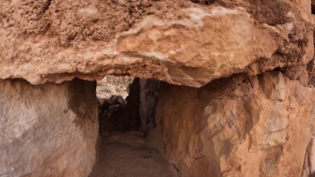
The Apache Death Cave is an area with an underground cave and an incredible story involving a conflict between the Apaches and the Navajo Indians. The Apache Death Cave is located off the Two Guns exit on Interstate 40, approximately 30 miles east of Flagstaff. In the same area, you will find the graffiti gas station and old KOA campground, along with old Pueblo ruins and the old Route 66 Diablo bridge.
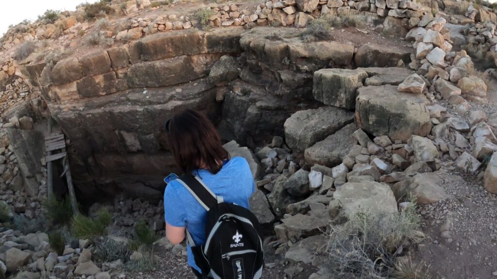
Let’s explore the site and the story behind the Apache Death Cave.
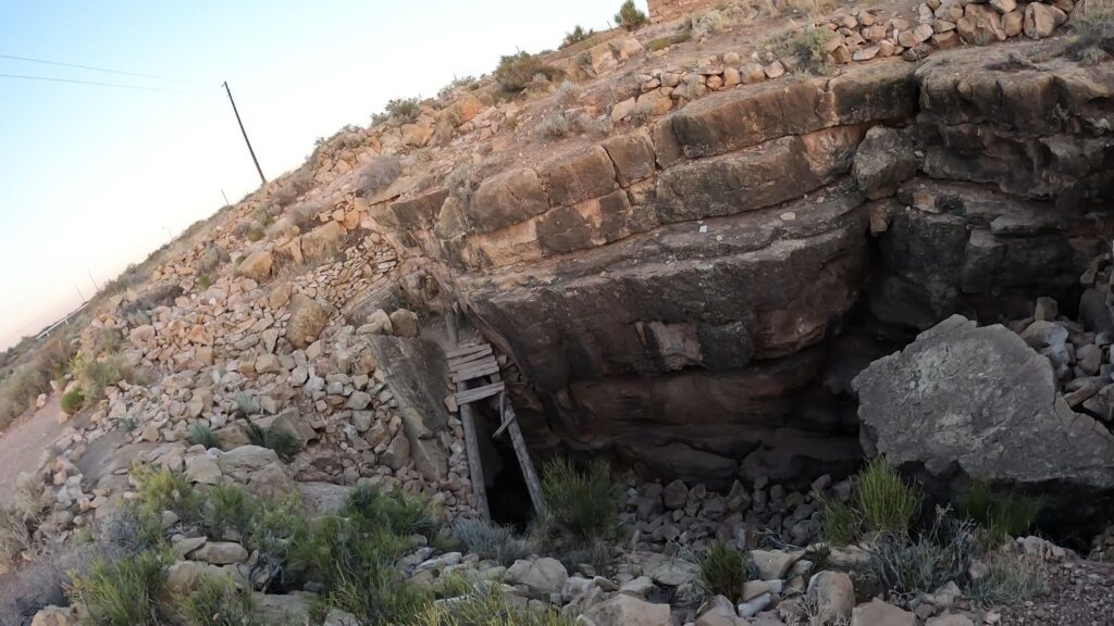
What is the Apache Death Cave?
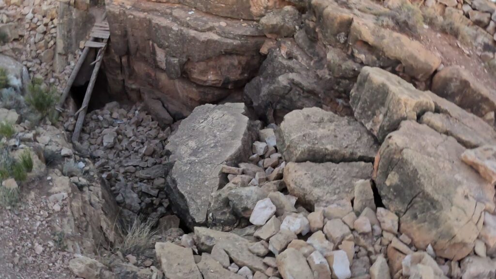
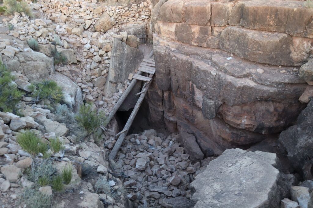
The Apache Death Cave is really a series of natural caverns that are said to extend for several miles under the sandstone. We decided upon finding the entrance location that we were not going to enter the Apache cave as we didn’t bring flashlights or other tools needed to safely search the cave, plus it was getting late in the day. No need to take a chance!
What is the Story of the Apache Death Cave?
The Apache Death Cave story involves a group of Apache raiders attacking Navajo camps near the Little Colorado River area in 1878. All the Navajos at the Navajo village were slaughtered in the raid, except for three Navajo girls they captured and took with them.
Searching for the Apache Raiders
A Navajo war party went searching for the Apache marauders. They tracked the Apache and blocked the borders to the region. Their tracking went cold disappearing into the riverbed near the edge of Canyon Diablo. Word of the attacks by the Apache raiders on another nearby Navajo encampment meant the Apache were still in the area.
Navajo Scouts were deployed to check the Canyon Diablo for the Apache raiders and the three kidnapped girls. The scouts found no tracks but were surprised by a blast of hot air as they transited the entrance to an underground cave system. This discovery indicated that a fire was lit somewhere in the cave system. The scouts returned with this news.
Apache Raiders Hiding Place Discovered
The Navajos now knew the Apache raiders were inside the cave system. So, they eliminated the two Apache guards and set forth gathering dry sagebrush and driftwood to start a huge fire at the mouth of the cave. The Apaches slit the throats of their horses and used their remaining water to attempt to put out the fire. The Apaches stacked their horse corpses at the cave entrance.
A lone Apache man escaped the cave and begged for mercy from the Navajos. The Navajo leaders proposed the customary payment of goods and stock in exchange for forgiveness. However, the Apache did confirm the three Navajo young girls were already dead so no agreement could be reached.
Finishing the Apache Raiders
The Navajo warriors intended to kill the group of Apaches. They were looking for Apache blood to spill. They shot into the cave and added wood to the fire. The Apache were not going to come out of the cave alive. The Apache warriors moved deep in the cave and started singing Apache death songs.
The Navajo entered the cave murder site to retrieve their stolen supplies and stripped all the valuables from the 42 Apaches dead in the cave.
Apache Death Cave Ghosts
There are still ghost reports in the area due to the Apache Death Cave and the massacre of the Apache raiders. Apache’s for sure will not go near the cave’s exit. There have been other unfortunate deaths related to the Two Guns area in the past so many now consider the two guns area a ghost town.
Is the Apache Death Cave Story True?
True or not, the owner of the land, who called himself Chief Crazy Thunder, pushed the story and then called the cave the Apache Death Cave to promote business and making this a tourist attraction. Through subsequent retelling of the story he helped drive this story to become a part of western history.
To attract tourists, he put in lights, put in a concession stand, and sold skulls he found as souvenirs in a gift shop. He told visitors they were bones from the Apache Death Cave.
Did the story actually ever happen? Maybe, maybe not. You be the judge. So, explore Two Guns to see for yourself.
Where is the Apache Death Cave Located?
It’s located on the Canyon Diablo Gorge, in Coconino County, between the city of Flagstaff, and the town of Winslow. It’s about 30 miles east of Flagstaff. Elevation is at 4,515 feet.
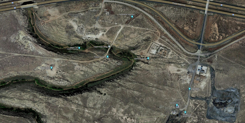
Now let’s look at a map. The old gas station is right at the exit off of I-40, and the KOA swimming pool and water tanks further south. We’re going to head west on the dirt road adjacent to the gas station. Let’s go by the Apache Death Cave. It won’t be too hard for you to find.
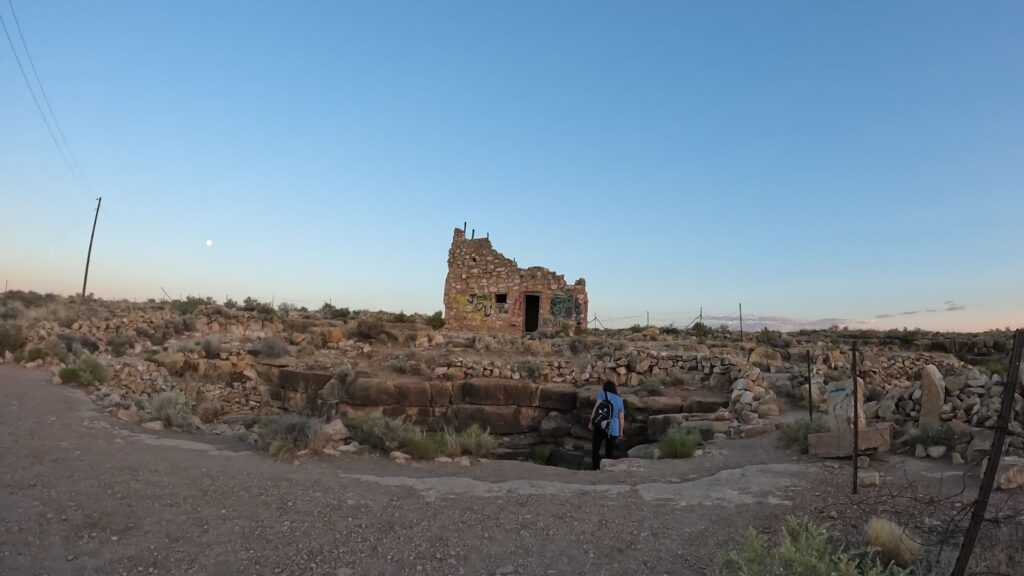
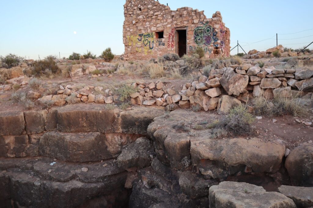
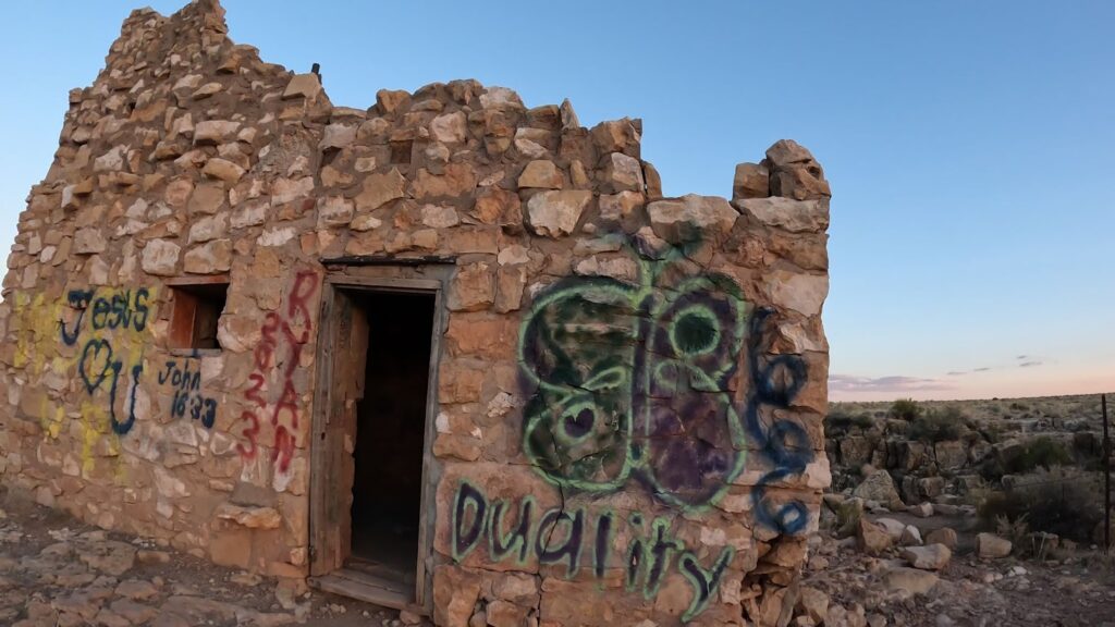
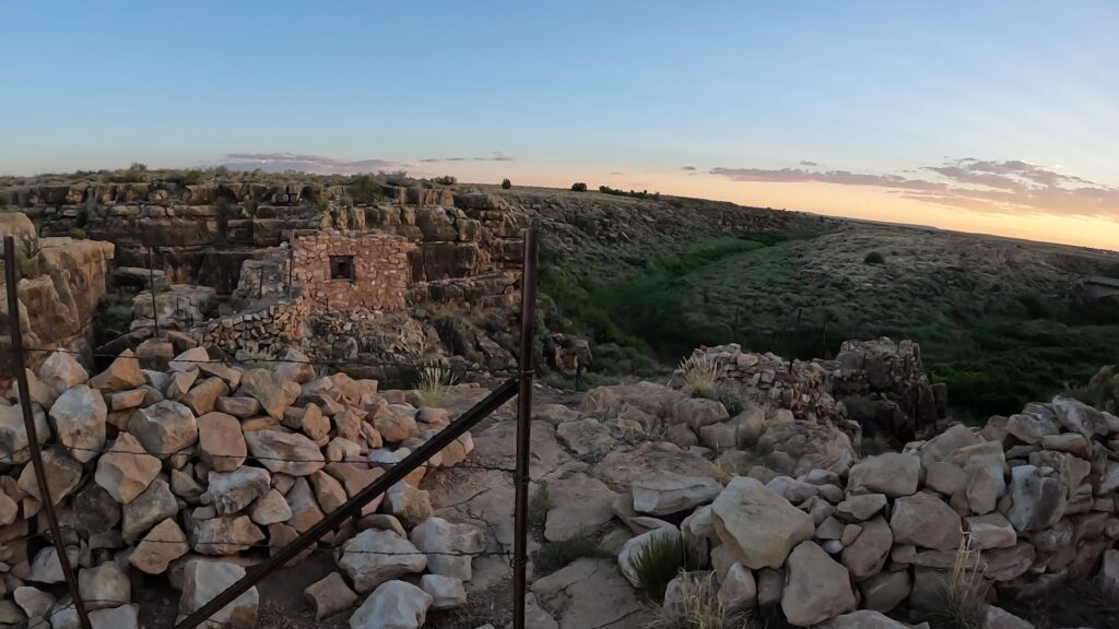
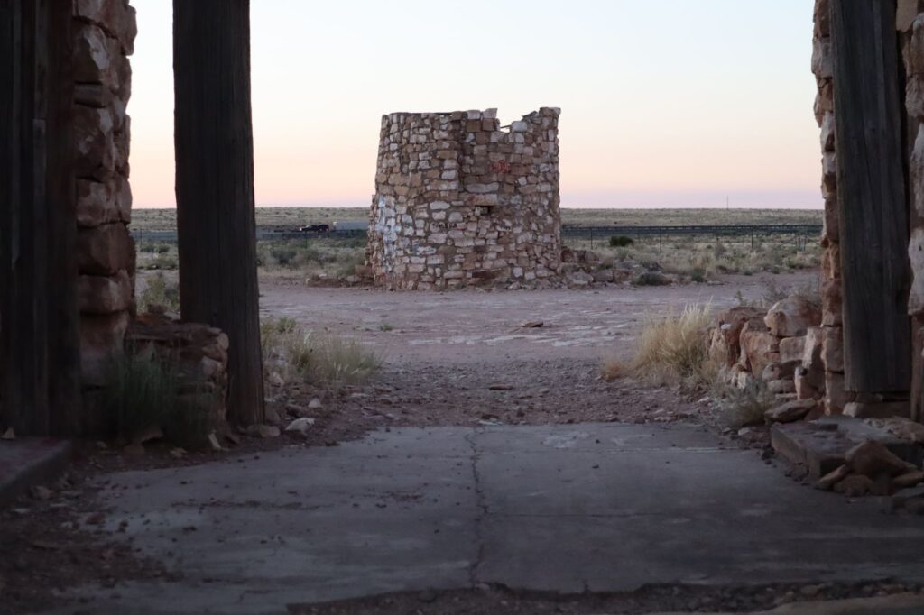
An ancient graffitied pueblo stands directly to the south of the cave entrance.
What to expect while exploring?
There are no signs meaning you are on your own. Make sure you review the maps that are included in this video to identify where everything is located. We winged it, and ending up taking more time than it needed. Take at least 30 to 60 minutes to explore the area. And more, if you go into the Apache Death Cave.
Caution should be exercised if you intend to maneuver down to the cave entrance and enter the cave system.
Other Attractions at the Two Guns Exit of Interstate 40
There are several other attractions you may wish to explore that are located at the same general area at the Two Guns Rd Exit.
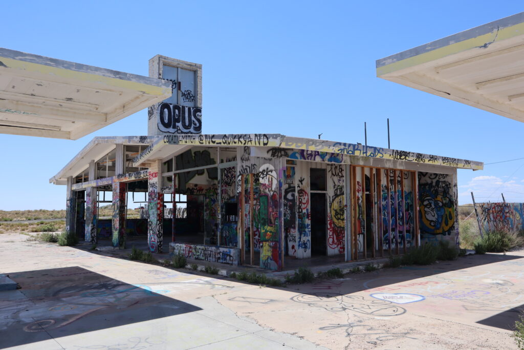
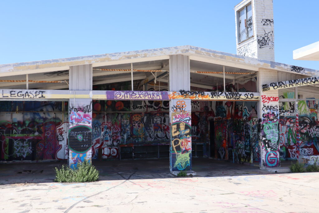
Abandoned Gas Station, KOA Campground, and Above Ground Tanks
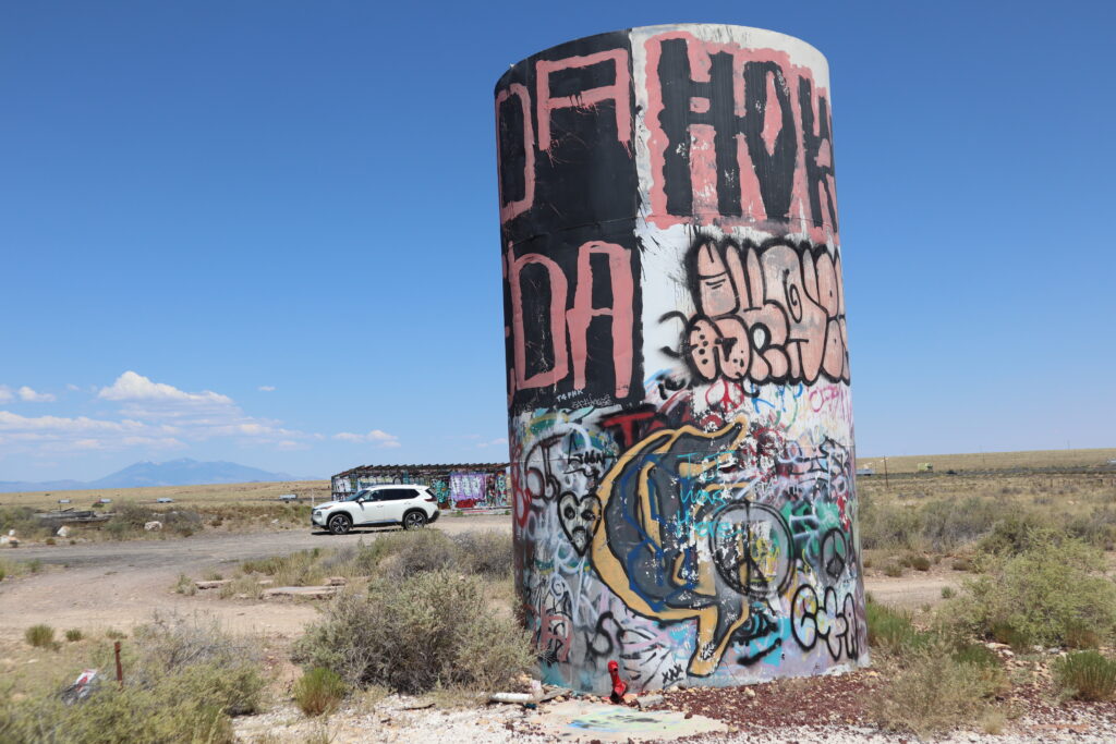
As you exit off of Interstate 40 at the Two Guns exit, you will go south and you will come upon the old gas station with graffiti all over it. Take the road adjacent to the gas station and you will come upon two above-ground storage tanks that have been tagged by graffiti artists.
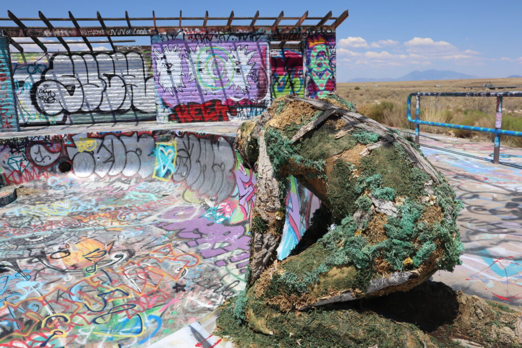
Directly to the east of the 2nd above-ground storage tank, you can see the old abandoned KOA campground and swimming pool that has been tagged and even a scary-looking human figure set by the pool. Right to the south of the pool, the remains of the old KOA building that caught fire and burnt down is visible. At least it was visible when we went.
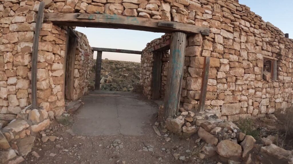
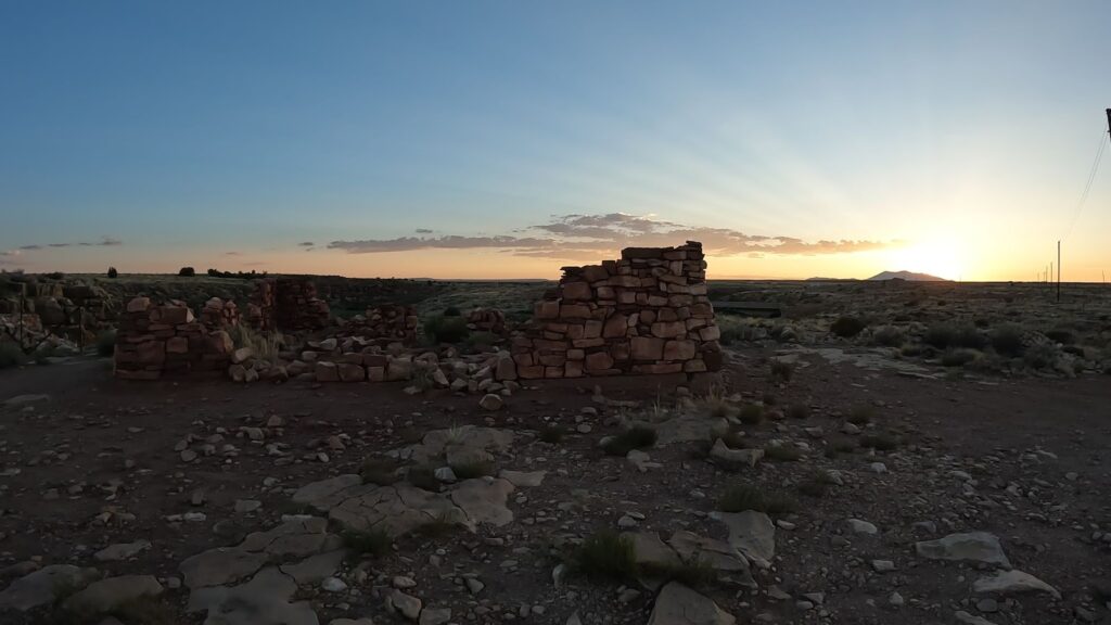
What’s the story behind Two Guns and the Pueblo Building Ruins?
There have been some artifacts found at this site that date back to between 1050 and 1600 AD which show the area has long been inhabited by Native Americans. The Hopi, Navajos, and Apaches are among the tribes who lived there.
In the 1920s, Earl and Louise Cundiff purchased about 320 acres of land in the area. They built a trading post, restaurant, gasoline station, and even a post office. Travelers would come along the National Old Trails Highway, which became U.S. Route 66 in 1926. People would stop for a much-needed rest.
Henry Miller Comes on the Scene
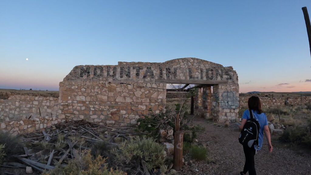
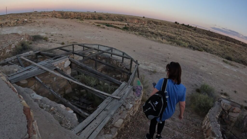
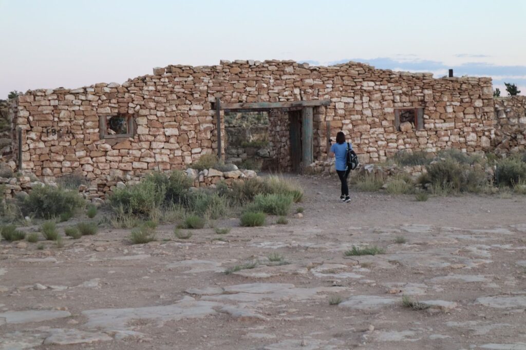
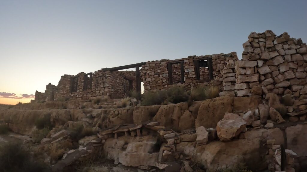
Henry Miller leased some of the Cundiff’s land. He had a much grander vision for this area. Miller and his wife, with the help of area Hopi Indians, built a trading post, a Texaco filling station, a Hopi house, and a zoo. Miller’s Zoo with the “mountain lions” painted on one of the buildings and old cages built to house animals are still visible.
Where did the name Two Guns Come From?
How did Two Guns get its name? The story goes that Miller named the town in honor of Western silent film actor William Suri Hart. His nickname was Two Gun Bill, because of his twin Colt 1851 Navy revolvers, that appeared in most of his 77 films. Unfortunately, the route was rerouted, which diverted travelers.
After a lease dispute, Miller shot and killed Earl Condiff. Miller was released from jail after claiming self-defense. After several mishaps, he moved from the area.
The Two Guns Rebuild
Louise Condiff remarried, and she and her husband decided to rebuild on the opposite side of the canyon where Route 66 had been rerouted. There was a new trading post, tourist shop, gas station, motel, taverns, a KOA, and a new zoo. Their hopes of continuing to draw travelers though have yet to come to fruition. After they sold the property, it would be leased and abandoned multiple times.
A man named Dreher bought it and was able to revitalize the area. Things were looking up for the town since I-40 was going to run through the area, and it would have a dedicated exit. Unfortunately, a fire destroyed the town in 1971 and it was never rebuilt.
What is the old Route 66 Canyon Diablo Bridge and the Old Trading Post?
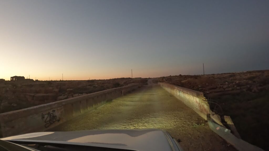
The Canyon Diablo Gorge Bridge was a part of the National Old Trails Highway (Sante Fe Highway) and 11 years later, US Route 66. The bridge carried travelers over Canyon Diablo. It was placed in the National Register of Historic Places in 1988.
The Bridge was constructed in 1915 as a reinforced concrete Luten arch bridge with a cantilevered roadway. The deck was earth-filled. The bridge is 146 feet long with a 128 feet long span. The cost of building the bridge back in 1915 was $9000. Today, that same bridge today would likely run you $250-300 thousand dollars.
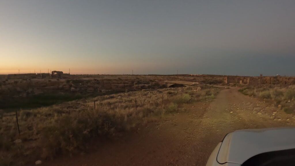
The ghost town of Two Guns is east of the bridge. Unfortunately, we were running out of light so weren’t able to explore that area.
The bridge has unique sides. The downstream side has slits to allow high waters through while the upstream had no slits and was a complete wall. The idea is the water when flowing would not traverse through slits to affect vehicles while crossing. But, the slits on the downstream side did allow for water to get off the bridge.
The Original Two Guns Hope Trading Post
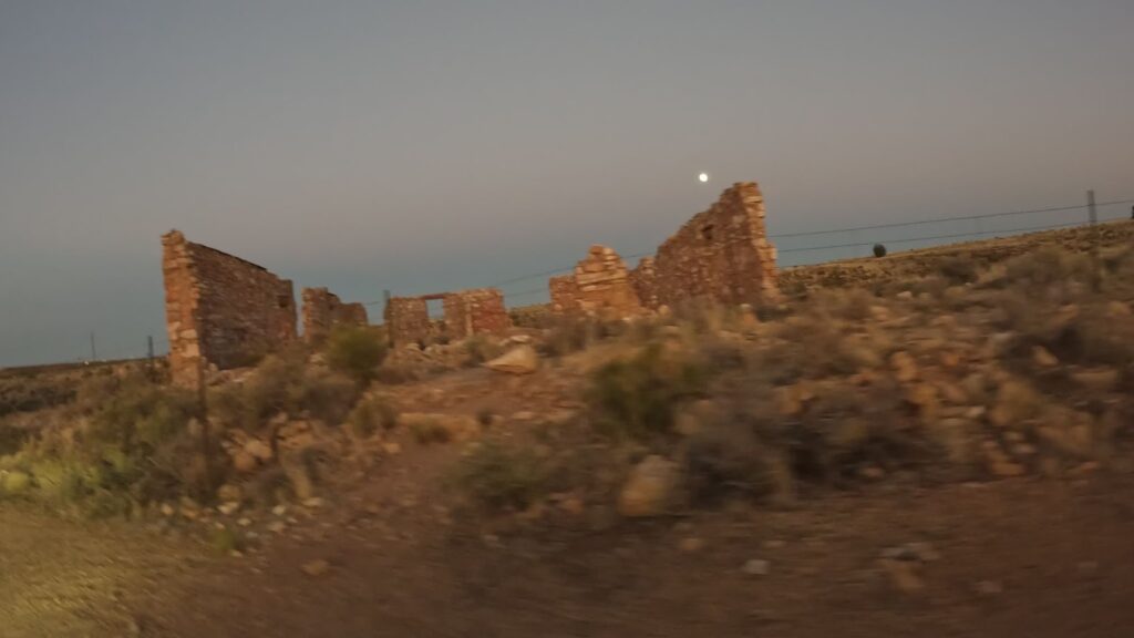
As we come up on the bridge, to the right are the ruins of the original Two Guns Hopi Trading Post. On the south of the road, you can see the ruins of a building with a square-shaped floor plan. That was the old trading post.
Conclusion
If you like to explore, Two Guns is the place for you. The Apache Death Cave of surprising folklore is located in the area, along with the old Highway 66 route having numerous pueblo structures built throughout the years. Consider exploring this area at dusk, as it just makes a bit of a difference and makes it more surreal.
The Apache Death Cave comes with an intricate story. True or not, you can be the judge.
While at Two Guns, you’ll want to check out and explore the abandoned Gas Station and KOA swimming pool as well.
If you like this content, I know you will really enjoy all the other epic Arizona trip videos around Flagstaff and all over the state to help you plan your next epic trip with your significant others. Attractions around Flagstaff include the Standin’ on the Corner in Winslow, the Petrified Forest National Park, the Meteor Crater National Landmark, Walnut Canyon National Monument, and many others.
Do us a favor, go ahead and subscribe, like that video, and feel free to share it. And don’t forget to comment down below. Thanks for watching, and as always, we will see you in the next video.

Leave a Reply