We stayed a few nights at the incredible Hacienda Linda Bed and Breakfast adjacent to the Saguaro National Park near Tucson, AZ, and made the short trip into the Saguaro National Park to explore Signal Hill Trail and the rock art petroglyphs that were in abundance on the hill. This was a very cool site and one we greatly enjoyed.
Join us as we explore the Signal Hill Trail in the Saguaro National Park near Tucson.
What is Saguaro National Park?
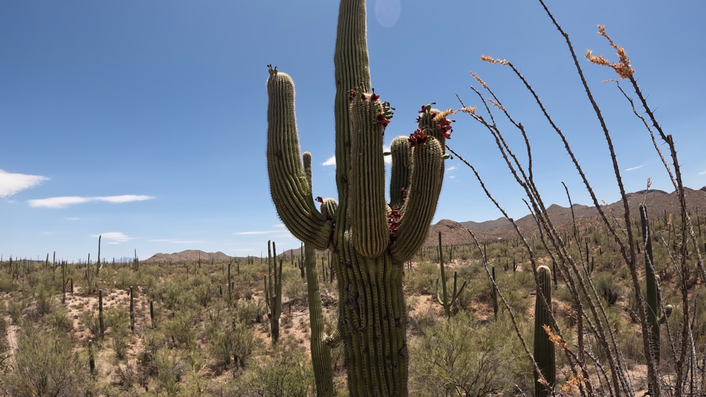
The Saguaro National Park is located in southern Arizona both east and west of Tucson. The Signal Hill Trail is in the Saguaro National Park West which is west across the mountains from Tucson. It’s a stunning destination that showcases the beauty and diversity of the Sonoran Desert. Spanning over 91, 000 acres, this natural park is home to a remarkable variety of plant and animal species, with the iconic saguaro cactus being the star attraction. The National Park Service administers the park.
Red Hill Visitor Center
The Red Hill Visitor Center in Saguaro National Park West is a great place to see the interpretive exhibits and talk with park rangers about the entire National Park and the Signal Hill Trail in more detail.
What is the Signal Hill Trail?
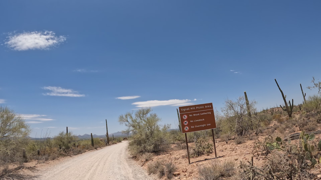
One of the most popular trails within the park is the Signal Hill Trail, which offers visitors a chance to explore the unique landscape and immerse themselves in the rich history and natural wonders of the area. Just north of the Signal Hill picnic area is the largest petroglyph site in the Tucson Mountain District of Saguaro National Park.
Petroglyphs
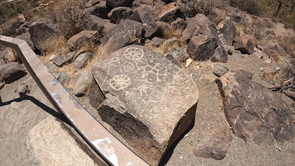
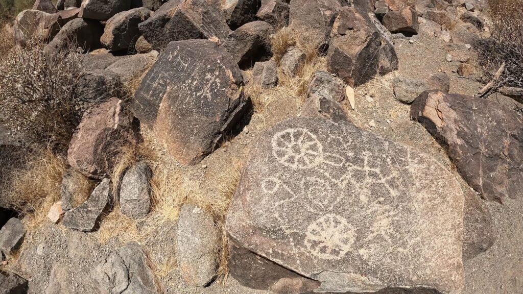
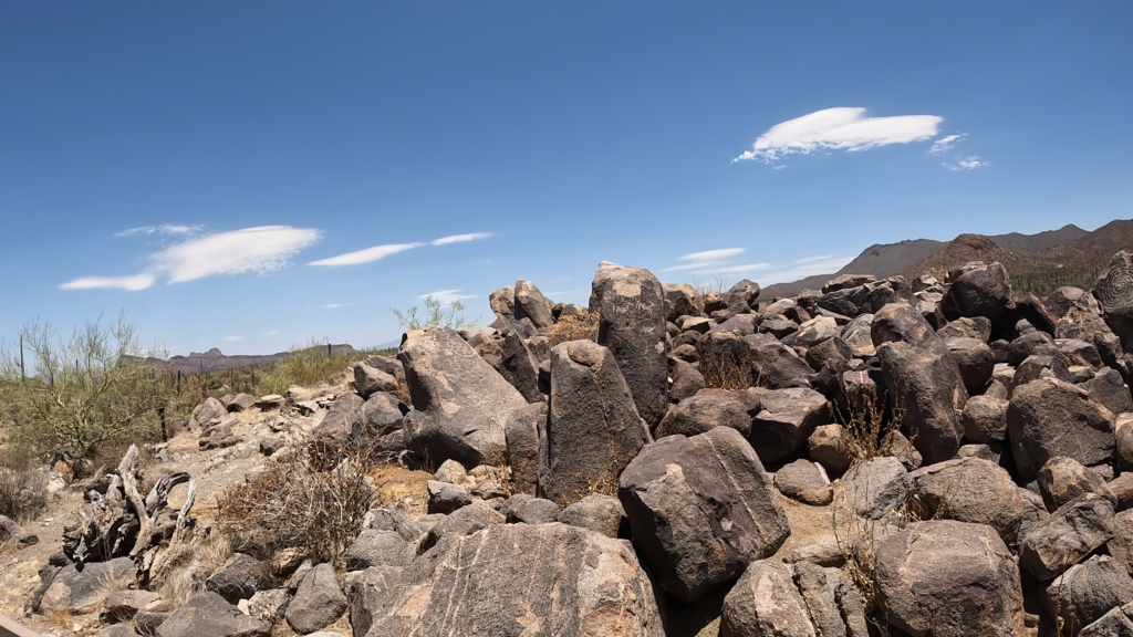
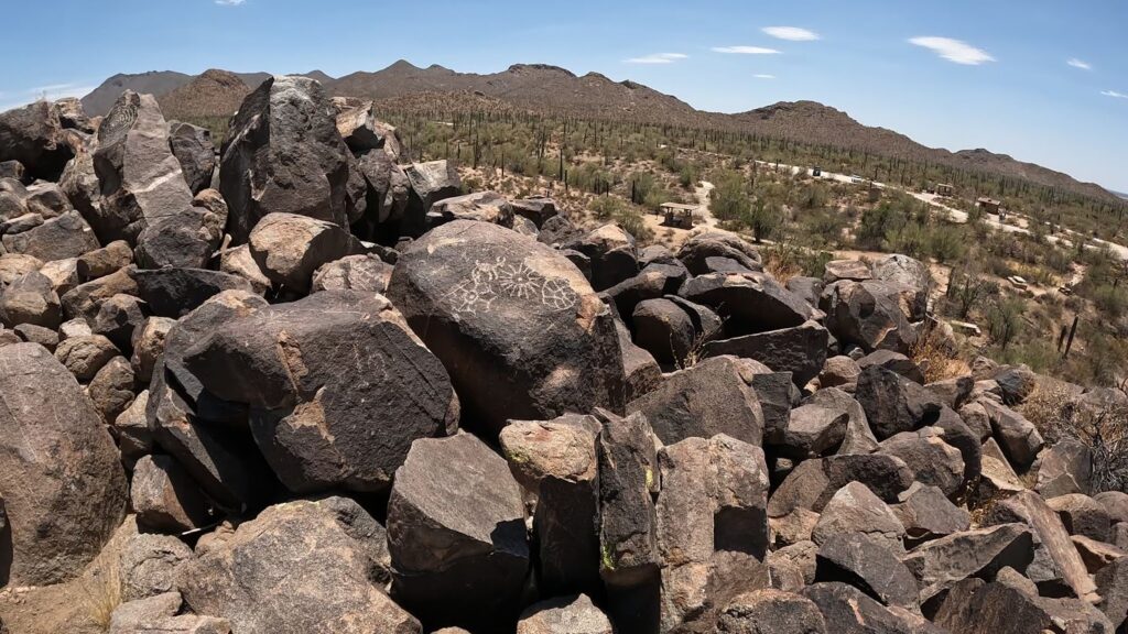
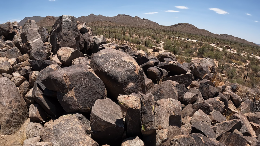
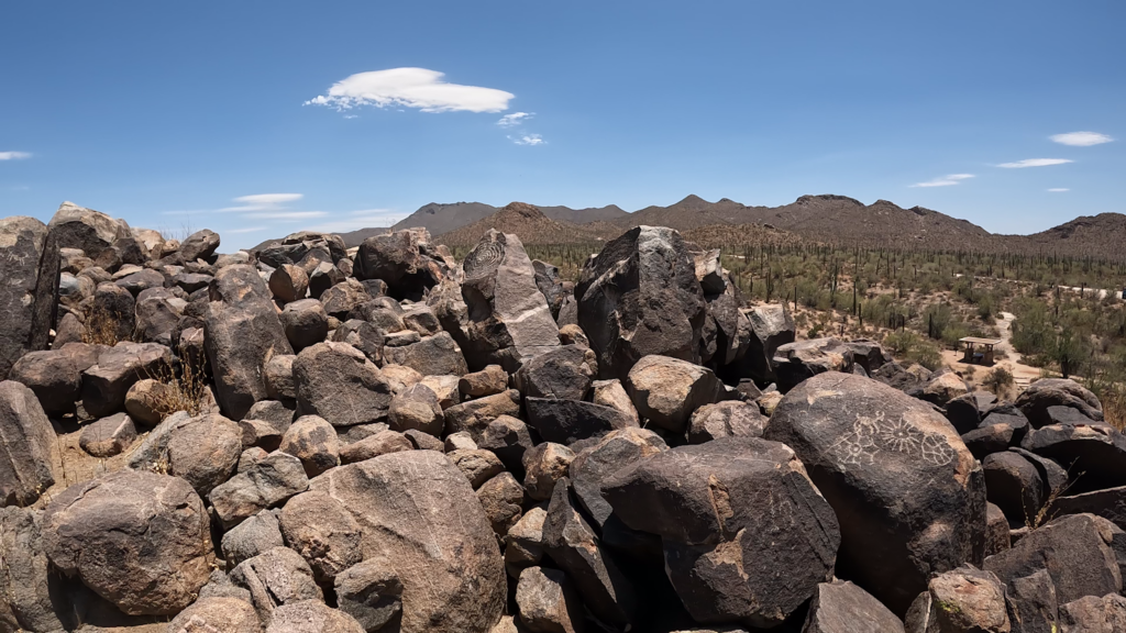
The Signal Hill petroglyphs site occupies a small but very distinct rocky hill that is about 200 feet in diameter at its base and is 40 feet high. A visitor to Signal Hill can view many of the over 200 prehistoric Native American petroglyphs along the trail and at the top of the hill. The Hohokam people in southern and south-central Arizona, from about 450 to 1450 A.D., created the petroglyphs on Signal Hill.
How old are the Petroglyphs?
Direct dating of ancient petroglyphs is difficult. The age of nearby artifacts often determines the approximate age of petroglyphs. With Signal Hill petroglyphs, there are no well-dated artifacts so their age is somewhat of a guess.
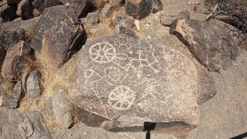
These dozens of petroglyphs include human stick fingers, animals, and a spiral petroglyph. It was fascinating to see them and try to figure out what they were supposed to mean.
Civilian Conservation Corps
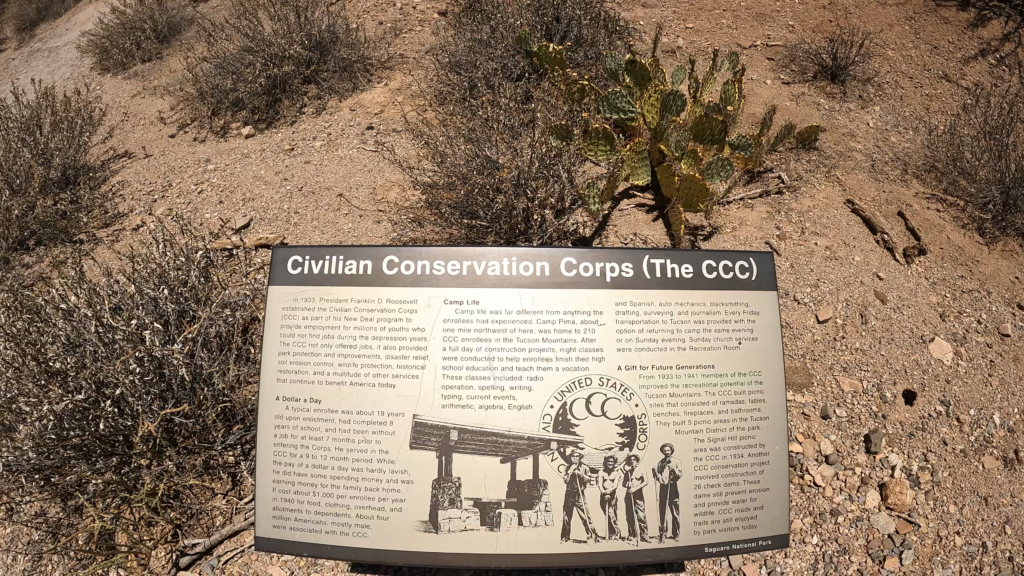
Modern people have been drawn to the Signal Hill Hohokam petroglyphs site for a long time. Noting the popularity of the site, the Civilian Conservation Corps created the Signal Hill picnic area and trails to the old Indian hieroglyphics in the 1930s. The Signal Hill Picnic Area was the largest picnic area built by the CCC in the Tucson Mountains.
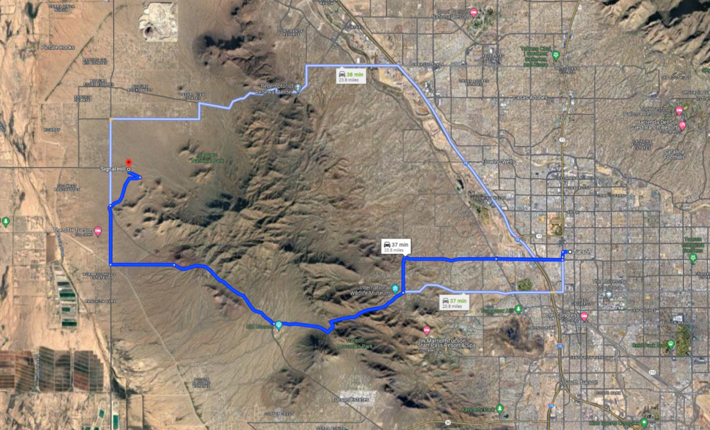
Where is the Park West and Trail Located?
The Saguaro National Park West is located just across the mountains west of Tucson. I put in a starting address for this picture of downtown Tucson just to give you an idea of where the park is in relation to Tucson and where the Signal Hill trailhead and picnic area are located.
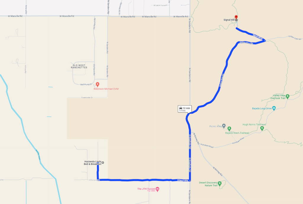
In this view, the map shows the drive from the Hacienda Linda Bed and Breakfast where we stayed a few nights while in the Tucson area. Erin and I highly recommend this B& B you can check a video on the Hacienda Linda Bed and Breakfast here.
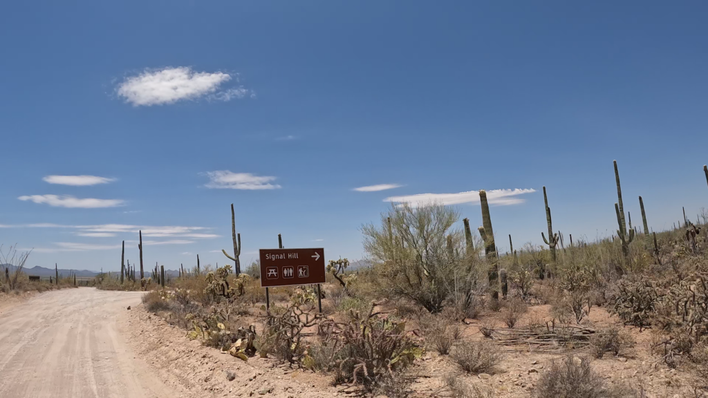
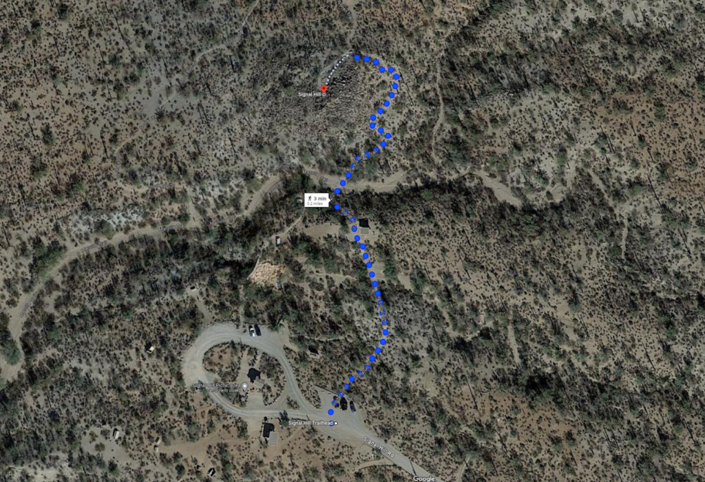
And lastly, this view shows the actual walking trail from the trail head in the parking lot to Signal Hill and returns. Your return trip follows the same track.
Note there are other trails that crisscross Signal Hill Trail. There are signs posted. Make sure you know where you’re going. Make sure you stay on the designated trail to make sure you don’t get lost and to keep away from potential snakes as you would be walking in their habitat.
What to Expect on the Trail?
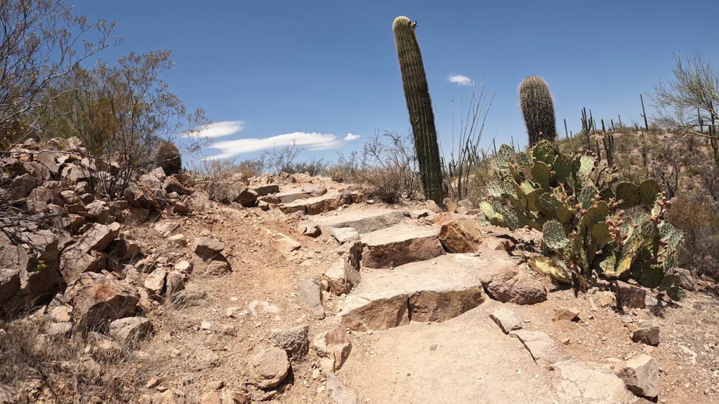
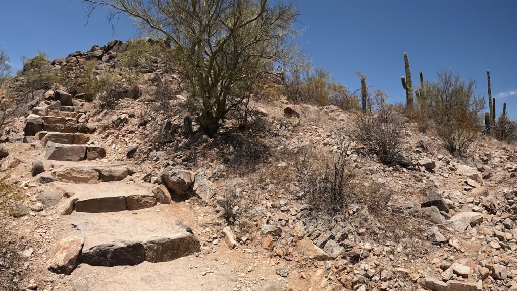
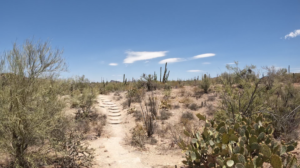
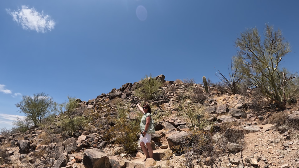
The trail through the cactus forest is a short 0. 2 miles in and the same distance upon return. It’s considered a light walk, but recognizes there are a series of rock steps starting at the base of the hill up to the top of the hill, and has 26 feet of elevation gain. It is a very short trail with a short distance so the entire round trip hike should not take more than 45 minutes to an hour.
Once you get up to the petroglyphs at the very top of the hill, you will see interpretive platforms but also a bar preventing you from going and getting up on the rocks.
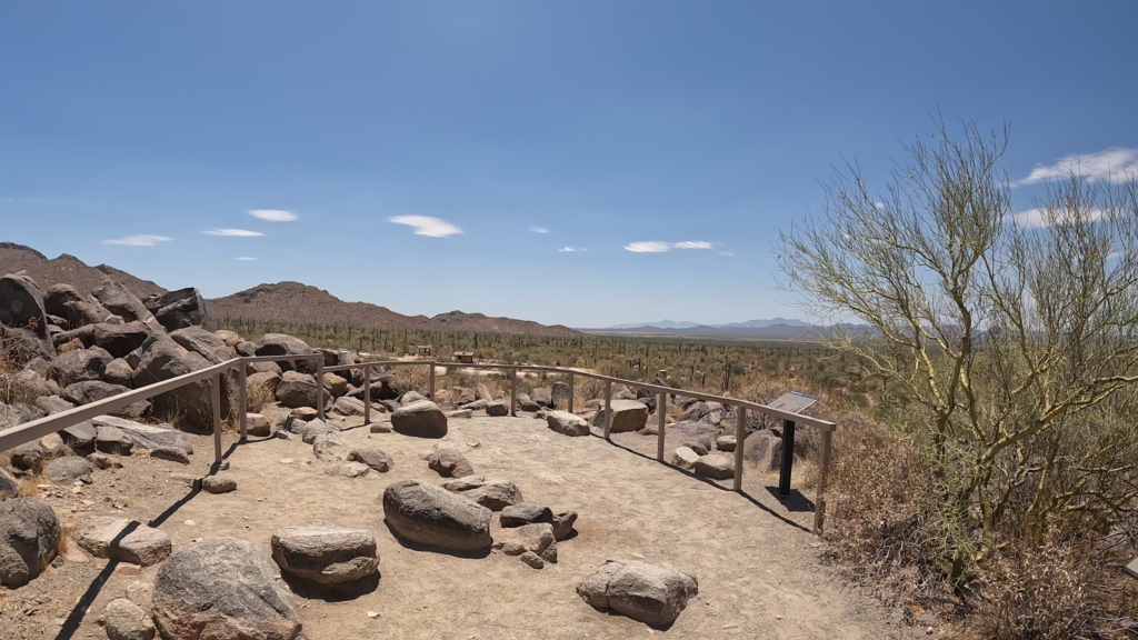
It is a popular historic site with a very short hike so it’s common to see others on the trail. The trail is not wheelchair accessible, nor are dogs allowed. As on any trail, especially during the heat of the day, ensure you bring a supply of water. And make sure you stay on the trail because there’s crisscrossing trails going through Signal Hill Trail as well.
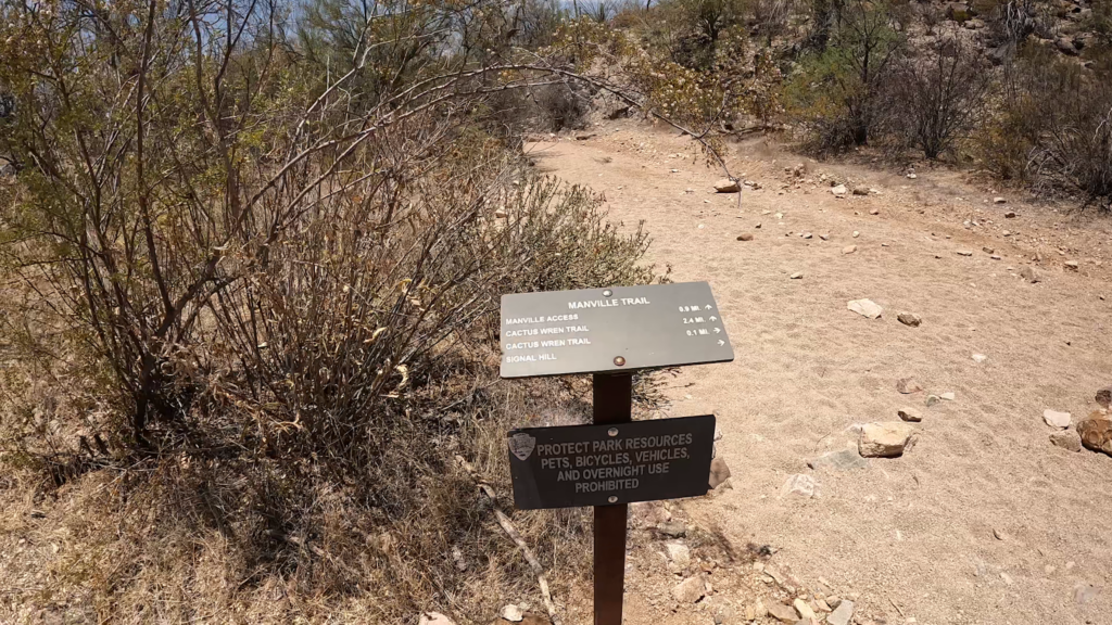
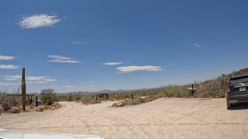
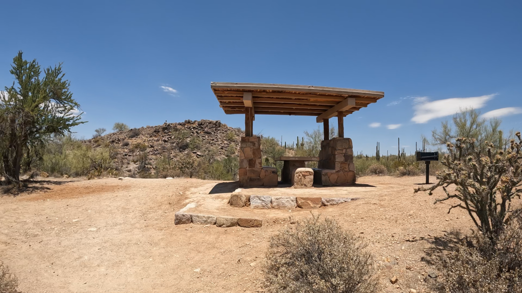
Note the parking area also has picnic tables.
Closing
The Signal Hill Petroglyph Trail in the Saguaro National Park is an incredible place to visit and see the cultural heritage of the Sonagua people, who once called this land their home. Take this short hike and gaze upon the many petroglyphs sitting on the top of the hill. Another site the Sonagua people helped create includes the Casa Grande Ruins National Monument.
And look, if you like this content and you want to check out all our other videos covering attractions nearby Tucson, such as the Old West and Railroad Heritage Murals and Signs of Benson, AZ, the Old Mining Town in Bisbee, the Cemetery in the Old Town of Tombstone, the San Xavier del Bac Mission Church, and many other destinations and videos in the Tucson area.
Also check out all our other Posts and videos covering the many fun and historical attractions on our epic Arizona trip, among many other locations.

Leave a Reply