The Wupatki National Monument, near Flagstaff, AZ, is a great destination to explore if you love ancient history like Erin and I. The Citadel and Nalakihu pueblos are one of the areas you can go visit and explore. This post covers this specific set of pueblos within the Wupatki National Monument.
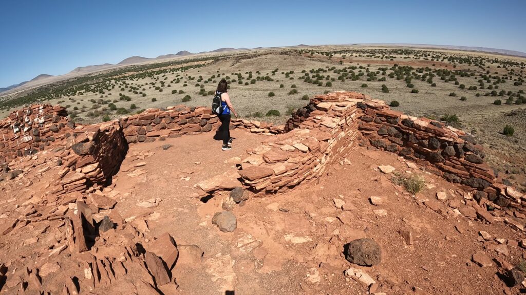
Indigenous Communities
The Sanagua, Cohonina, and Cayente Anasazi inhabited and flourished in this area. They grew crops, hunted wild game, and made pottery. The Anasazi were living on the water from the Wupatki Springs, unfortunately, which is now dry. They had to learn to “dry garden”. They enjoyed a diet of corn, beans, squash, seeds, and grains, plus fresh meat from hunting.
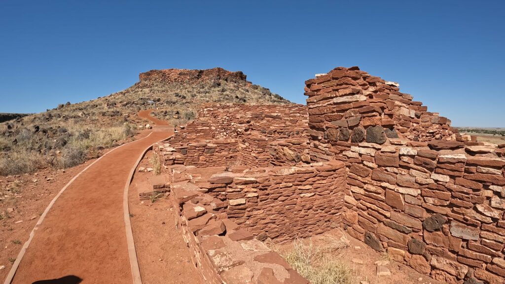
The area around Sunset Volcano Crater has been home to indigenous people for thousands and thousands of years. They were here even before the volcano erupted way back in 1085. The Hopi and Zuni elders, who are wise and respected members of their communities, still share stories about what it was like to witness the amazing fireworks when the volcano would explode. Can you imagine that? It must have been quite a sight!
A Littered Landscape
The area around Sunset Volcano Crater is covered in old volcanic cinder and spatter cones. What are those, you ask? Well, cinder cones are formed when volcanic ash and rocks pile up around the volcano’s vent, creating a cone-shaped hill. Spatter cones, on the other hand, are formed when blobs of lava are ejected from the volcano and harden into cone-shaped structures.
Where is the Wupatki National Monument Located?
The park is located about 30 miles north of Flagstaff. If in the Flagstaff, AZ area or driving to or from Page, AZ, or another location on AZ Hwy 89, the turnoff is to the East on Hwy 89. Sunset Crater is nearby so can bundle both attractions together.
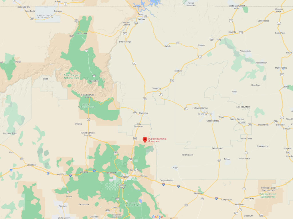
Where are the Citadel and Nalakihu Pueblos Located?
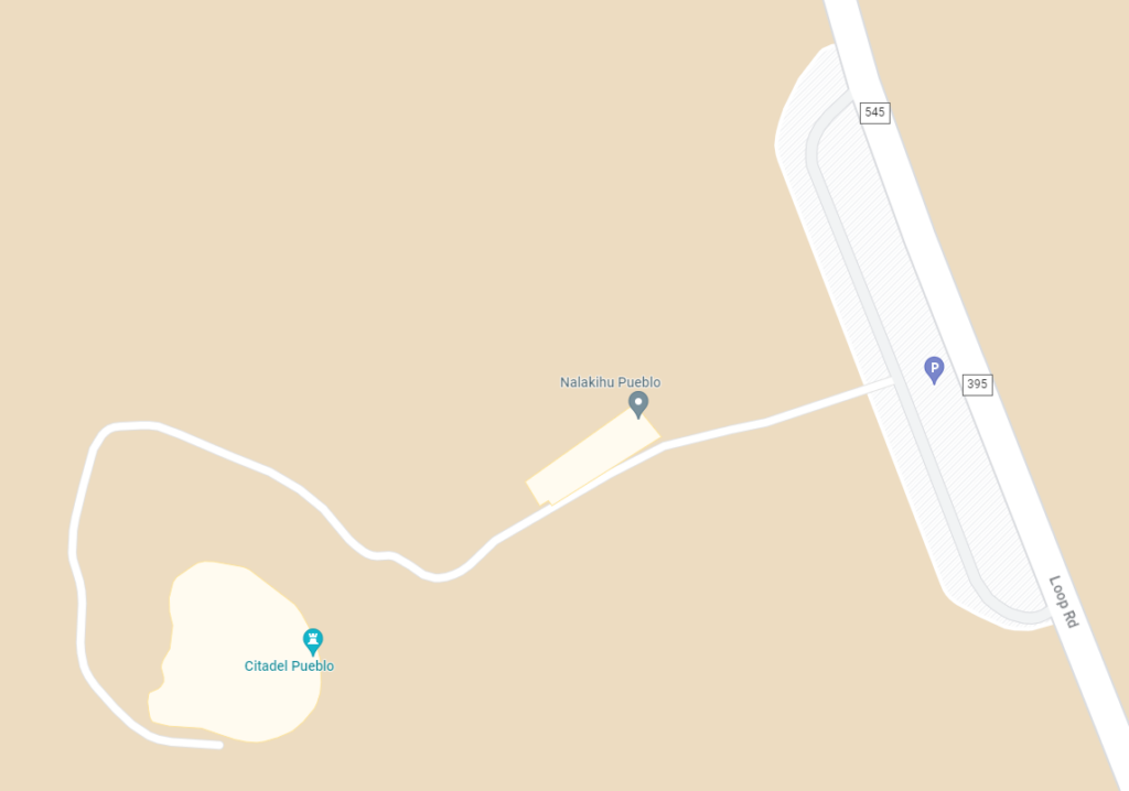
If coming in from the North Entrance to the National Monument, you will come to the Lomaki and Box Canyon Pueblos first on your left, about 4 miles into the park. Turn left back out on the Loop drive and go 1 mile south to the Citadel and Nalakihu Pueblo parking. If coming from the South Entrance, this is a 9-mile drive from the Wupatki Visitor Center.
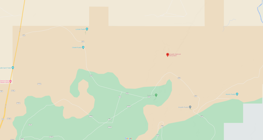
This map gives you a close-up look at the Citadel and Nalakihu area including the trails and pueblos.
Citadel and Nalakihu Pueblos
The Citadel and Nalakihu pueblos were constructed in the early 1100s to support the indigenous community’s thriving agricultural society. The community practiced trade with other communities reaching as far as 100 miles away. Artifacts demonstrate various cultural influences from surrounding communities including ceramic wares and various forms of human burial. One such burial method included cremation which is a Hohokam burial tradition from down South.
Nalakihu Pueblo
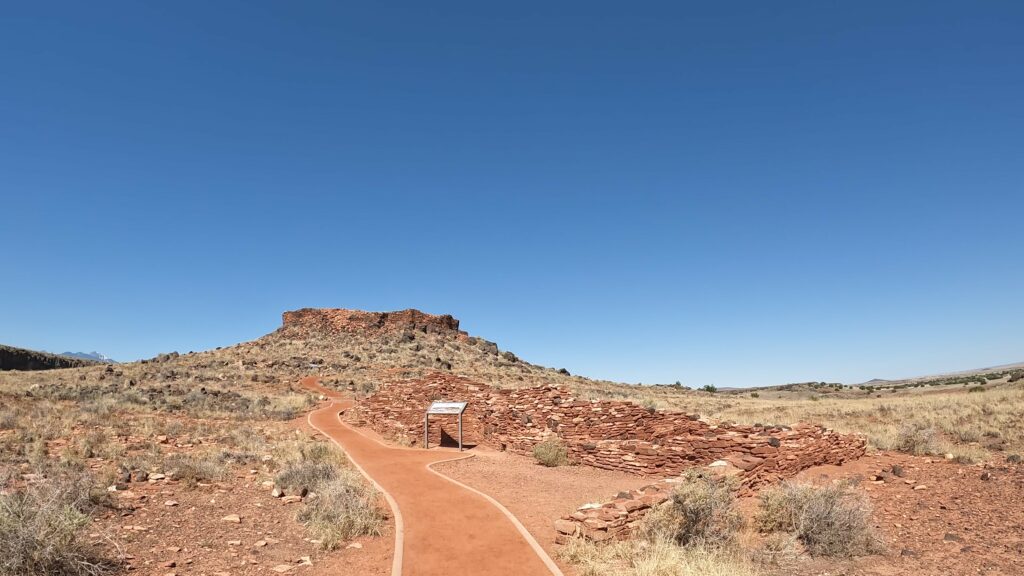
Nalakihu is translated from the Hopi language to “house standing outside the village.” The Nalakihu Pueblo is the smaller sandstone structure we come to first on the trail. The structure had 10 rooms on the first story and 3 or 4 rooms on the second story. The construction of the Nalakihu occurred in the late 1190s based on tree ring data of wood that was used in the construction.
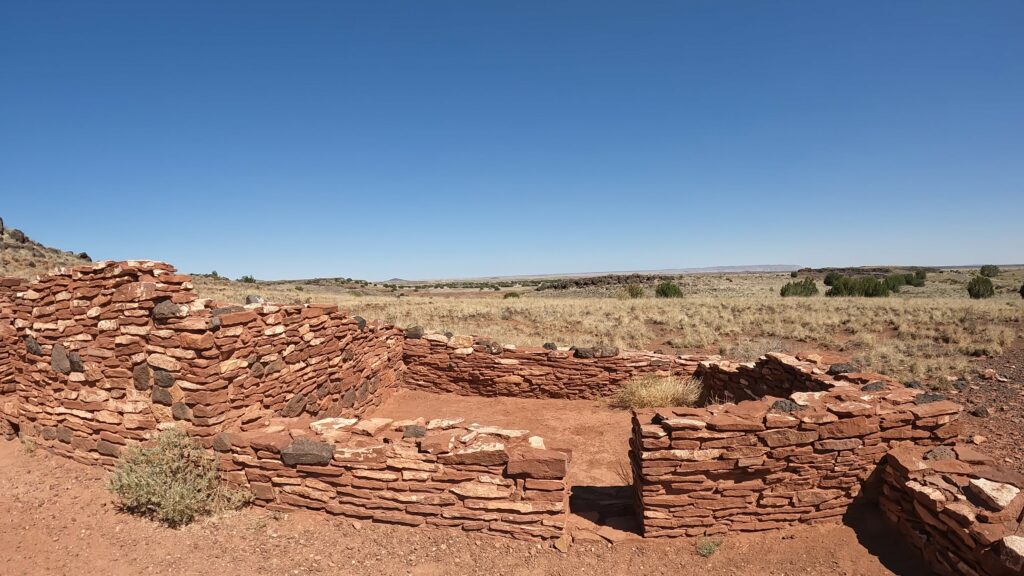
Nalakihu was one of the hundreds of pueblo structures that surrounded the Citadel Pueblo. The Citadel Pueblo was important to the community and created a central hub surrounded by smaller pueblos.
Interspersed throughout the community researchers found traces of agricultural fields, terraces, rock alignments, water catchments, and check dams. Soil sample analysis reveals cultivation of crops including corn, squash, beans, tobacco, and cotton.
Citadel Pueblo
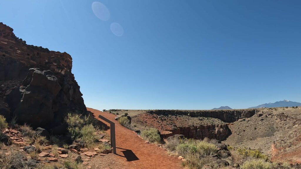
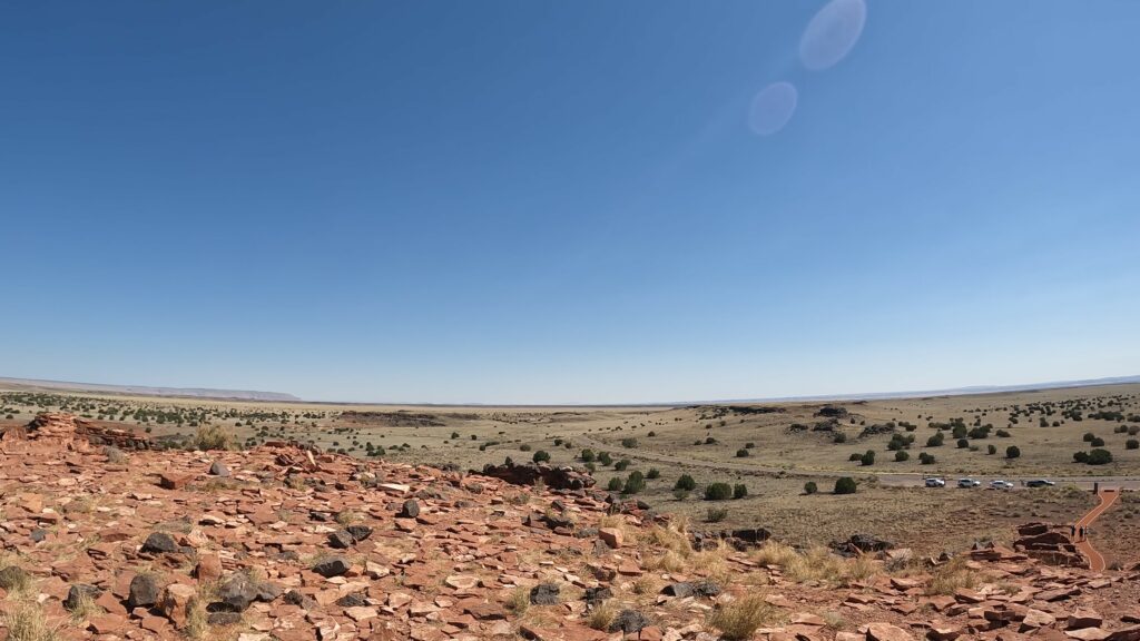
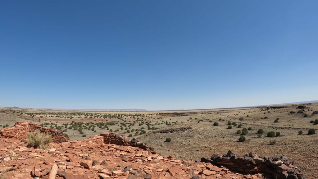
The Citadel Pueblo was a big structure that had close to 50 rooms sitting on top of a small cinder hill overlooking the area. It is only about half the size of the grand Wupatki Pueblo complex. The wall follows the outline of the hill. Sandstone and basalt were the primary building components of the pueblo.
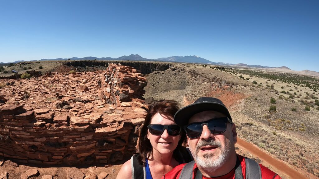
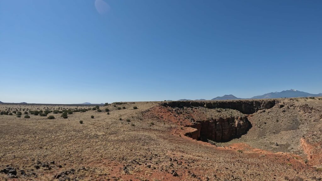
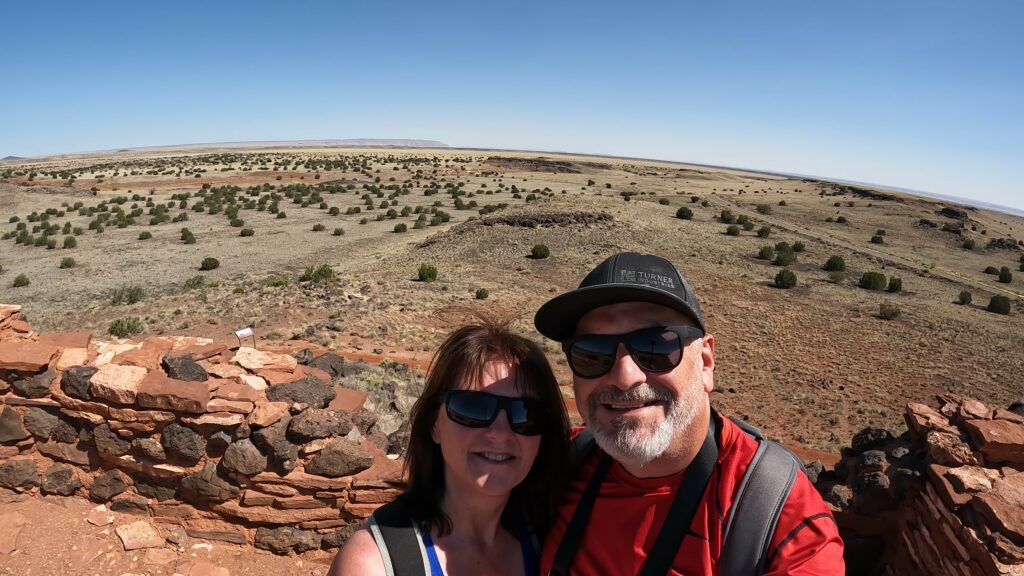
The view on top of the Citadel Pueblo hill provides a 360-degree viewpoint. O’Leary Park and the Sunset Crater Volcano National Monument are the closest high peak. The San Francisco Mountain peaks are the highest mountains in Arizona. Snow can be seen at the top of these mountains even in the summer months.
What to Expect at the Citadel and Nalakihu Pueblos?
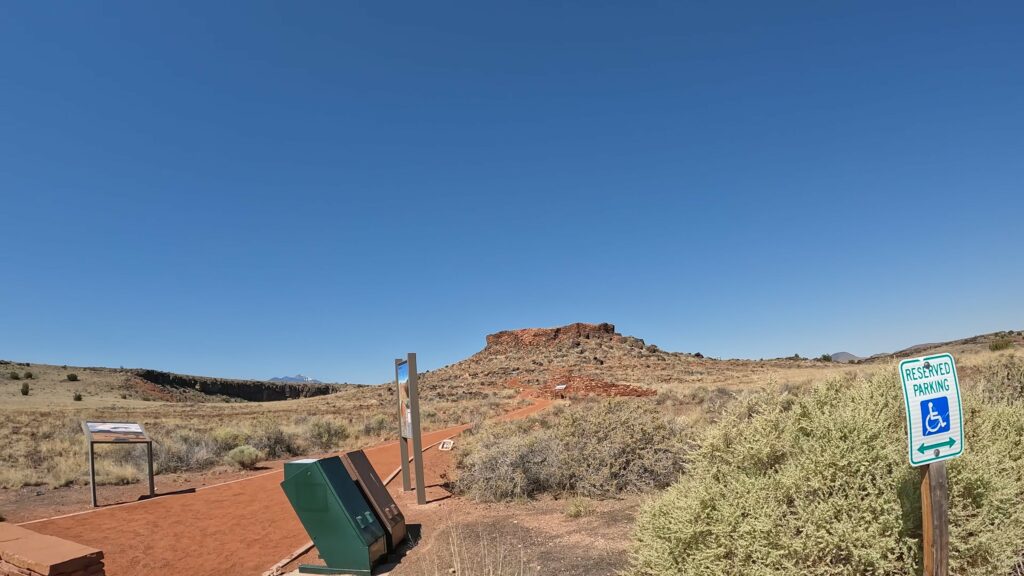
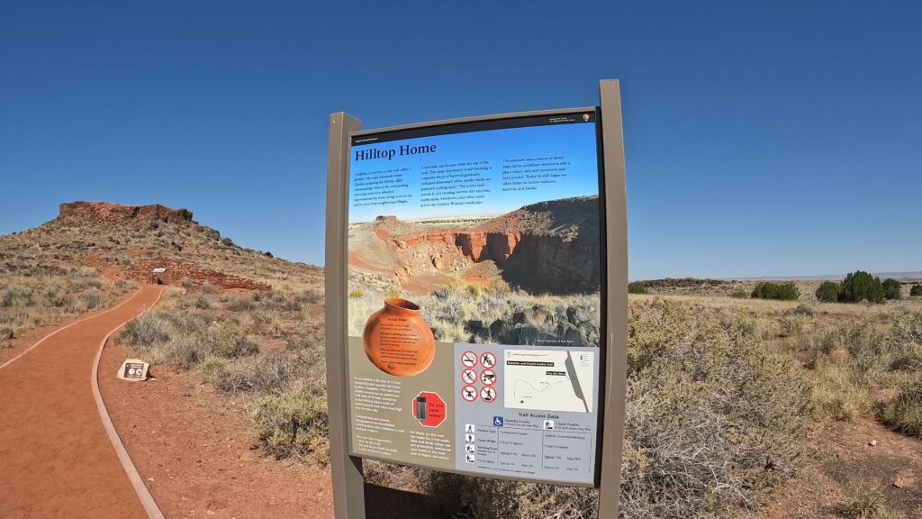
The Citadel and Nalakihu Pueblos trails are hard-packed gravel and have a few sections of slickrock. There are several interpretive signs along the trail that teach a few things about what you are looking at.
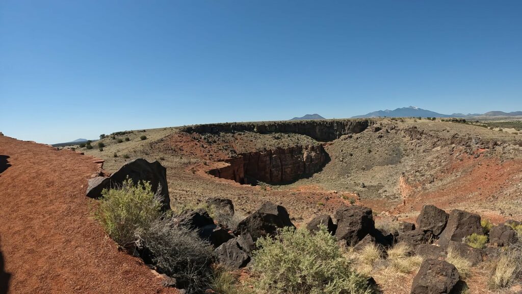
The trail is a roundtrip distance of 0.3 miles. This trail is an easy to moderate hike. Elevation ranges from 5300 to 5326 feet on the trail. The trail is short but winds around the hill as it climbs up to the top of the Citadel Pueblo so caution advised to climb too fast. Take your time going up, read the interpretive signs, and check out the limestone sinkhole to the South.
Plan for 30 – 45 minutes to explore these pueblos.
The Citadel Pueblo Photos


Nalakihu Photos


Erin and I love history and we love being outdoors. Visit Wupatki National Monument as it is well worth the visit. You will thoroughly enjoy the history and the short hikes. The bonus of going to the Wupatki National Monument is the fact that the Sunset Crater National Monument is right next door. So, you get two National Monuments in one shot.
Check out our post on the Sunset Crater National Monument. Again, package these two together.
Click below to see a more detailed post on each set of pueblos in the Wupatki National Monument:
- Lomaki and Box Canyon Pueblos
- Citadel and Nalakihu Pueblos
- Wupatki Pueblo Site
- Wukoki Pueblo
If you like this content, I know you’re really going to enjoy the Montezuma Castle and Well National Monument posts, and all the epic Arizona trip videos we have to help you plan your next epic trip with your significant others.

Leave a Reply