Today, we are headed to the incredible Red Rock Canyon National Conservation Area to get a mountaintop view of the Las Vegas Valley and the beautiful rock formations on the Calico Tanks Trail. You see we both love going to Las Vegas, as there’s always so much to see and do. However, there are tons of fun and adventurous things to do off the Las Vegas Strip. We drove the short 16-mile trip from the Golden Nugget to the Red Rock Canyon to explore this great place.
This is Darrell and Erin on Travel with D& E. Join us as we explore the Calico Tanks Trail in the Red Rock Canyon just outside of Las Vegas.
Table of contents
What is the Red Rock Canyon National Conservation Area?
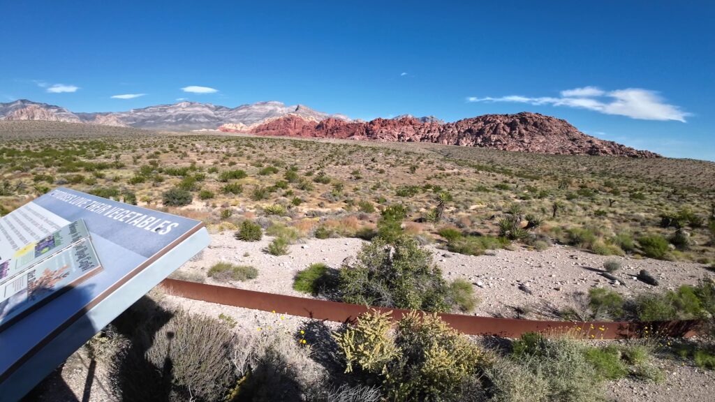
The Red Rock Canyon area spans about 195,000 acres of incredible natural features in the Mojave Desert. The Red Rock Canyon has several trails and overlooks just 20 minutes outside of Las Vegas. You will see a combination of all different colors including black, gray, white, tan, and red rocks in various beautiful sandstone formations across rolling hills visible through several trails and overlooks.
What is the Calico Tanks Trail?
One of the most popular trails, the Calico Tanks trail, sits within the Red Rock Canyon and its one-way 13-mile scenic loop road. The Calico Tanks Trail is our first hike and heads up into the Calico Hills. The starting point is near the Sandstone Quarry Trailhead about 2.9 miles from the park entrance.
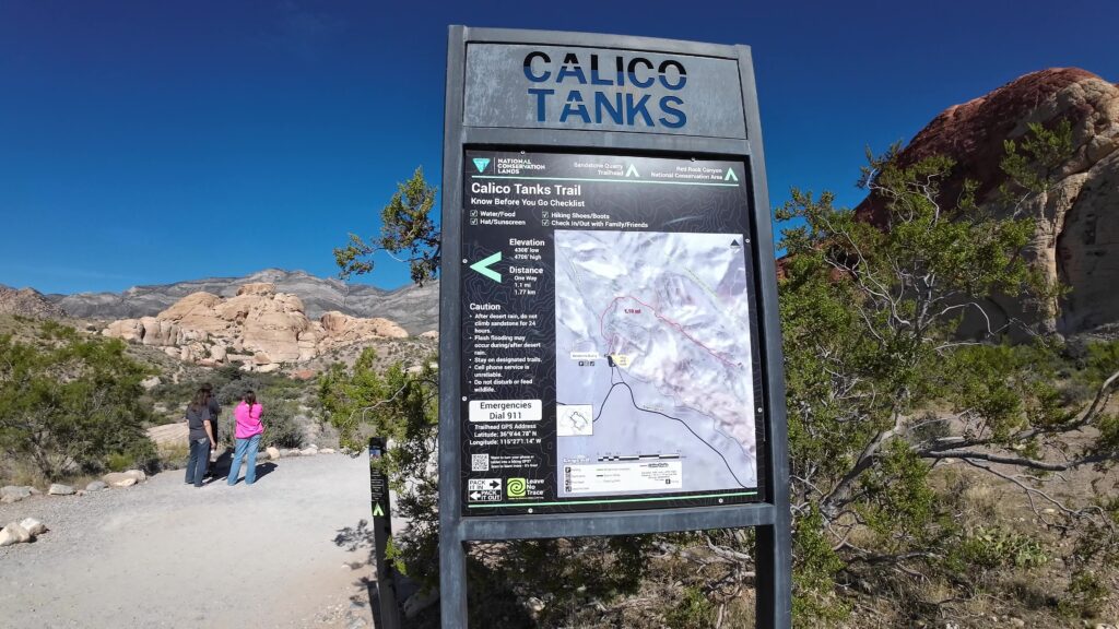
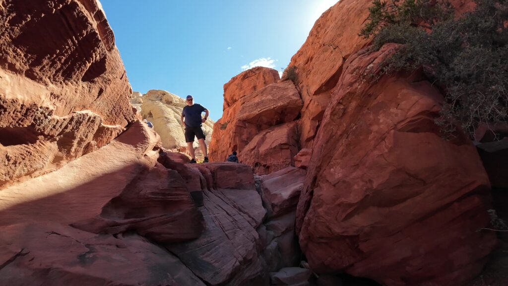
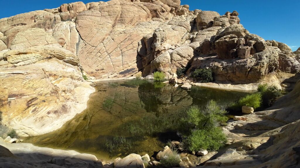
Start at the Calico Tanks Trail sign. Within a short distance, you will get to a wash. The trail climbs up with a few steep areas where you must climb over boulders but get great views of colorful rock formations. You eventually get to the larger tank (or water-holding area). You will have to walk on a ledge to get around the tank, although not a big drop-off.
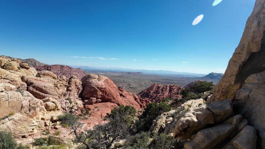
You will climb up more until you get to the high point edge of the mountain where you can see great views of the Las Vegas Valley. At this point, you have reached the end of the hike, so turn around and proceed back down the same path you came in on.
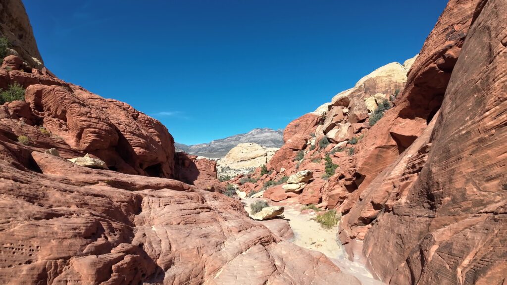
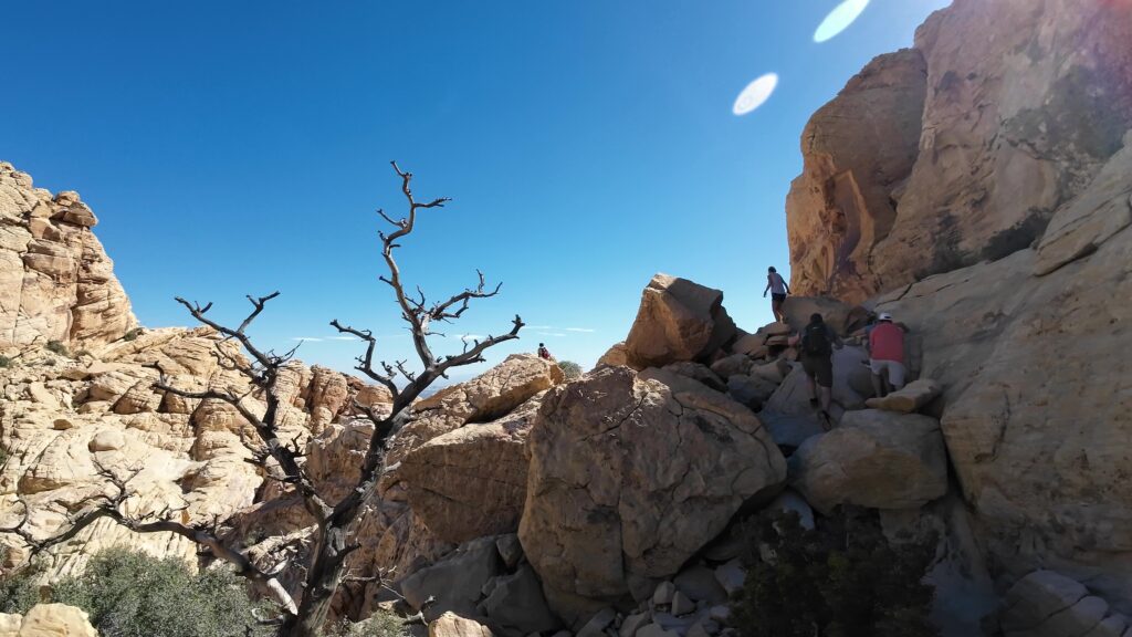
Natural Water Tank
We saw the one natural water tank near the turnaround location on the hike. This particular watering hole had vegetation and appeared to have been full for a while. In reality, the tank can range from dry in the summer to ice in the winter so the water level varies depending upon the season. This was an October hike so it was full at this point. It was a very beautiful feature up in the higher elevations on the trail.
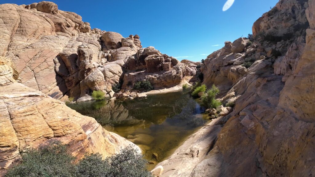
Las Vegas Valley
The Calico Tanks Trail in the Red Rock Canyon National Conservation Area is an outstanding trail to hike with an incredible view of the Las Vegas Valley.

What to Expect on Calico Tanks Trail?
It’s 1.1 miles one way, so, 2. 2 miles roundtrip. The Calico Tank trail is a moderate to strenuous hike with an elevation gain of close to 600 feet. At times you will be walking on both dirt, gravel, and sand paths. You will also have to do some rock scrambling on boulders and rocks to ascend and descend from the Las Vegas Valley Lookout point. The average time to hike to the end of the trail is about 2 hours.
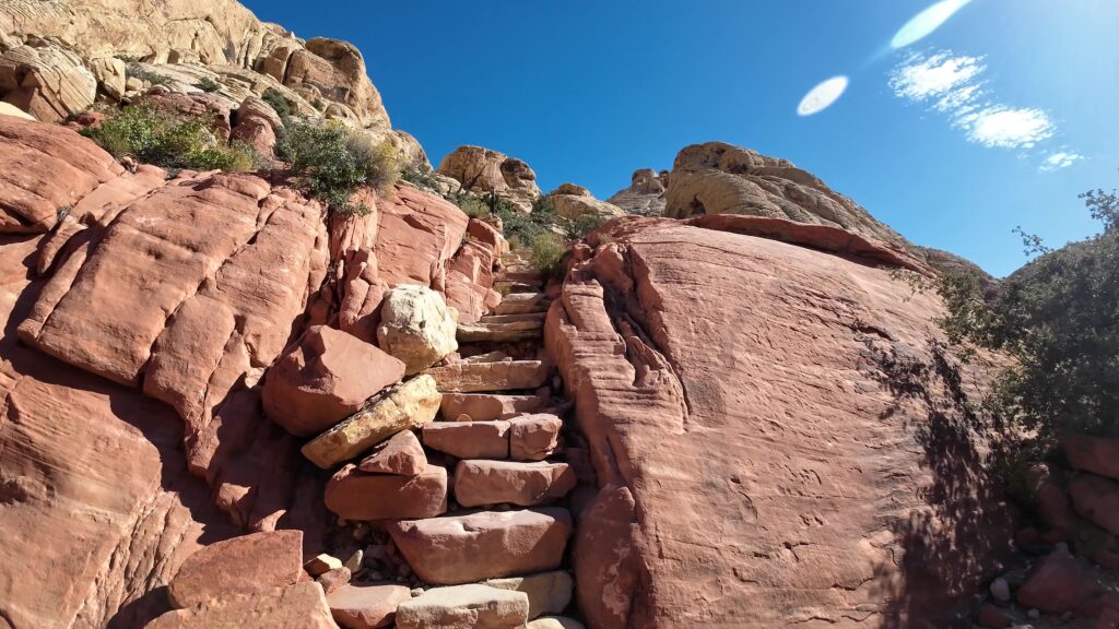
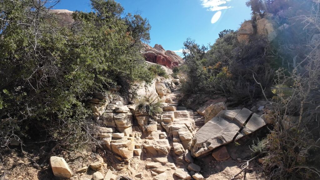
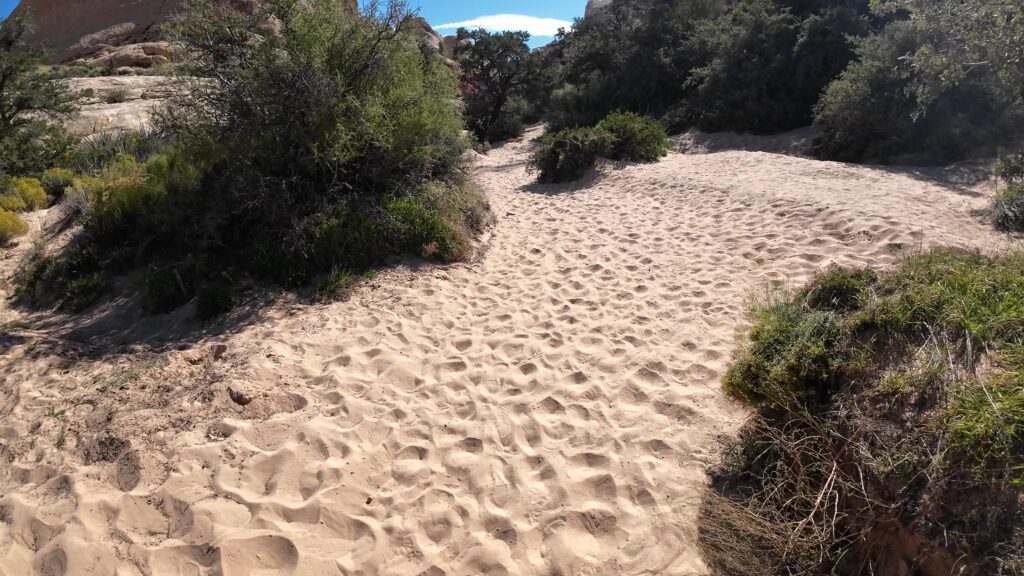
Ensure you bring plenty of water especially if the sun will be out as you will be walking in direct sunlight for most of the trail.
How to get to Red Rock Canyon’s Calico Tanks Trail
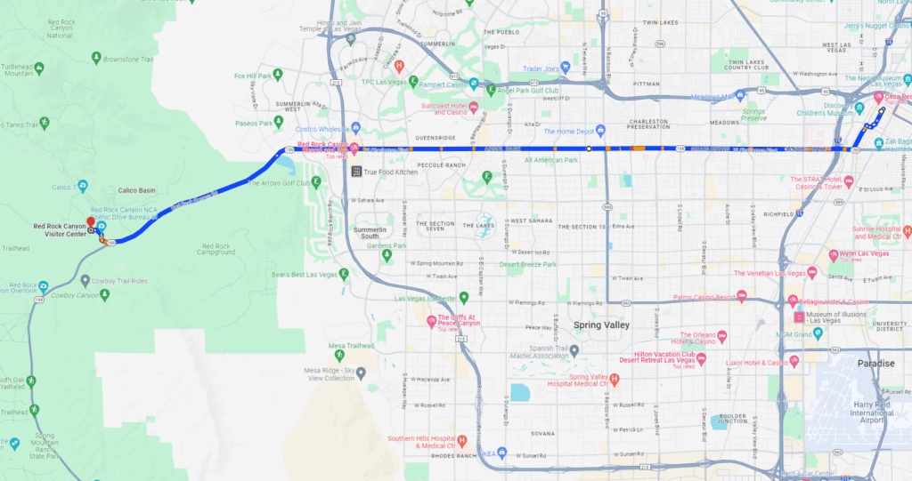
The Red Rock Canyon is only about 16 miles away from downtown Las Vegas. You want to get to W. Charleston Blvd westbound W. Charleston Blvd will turn into Red Rock Canyon Road as you get to the edge of town (which is Hwy 159). You follow this for 4 or 5 miles and you will see signs for the Red Rock Canyon turn-off.
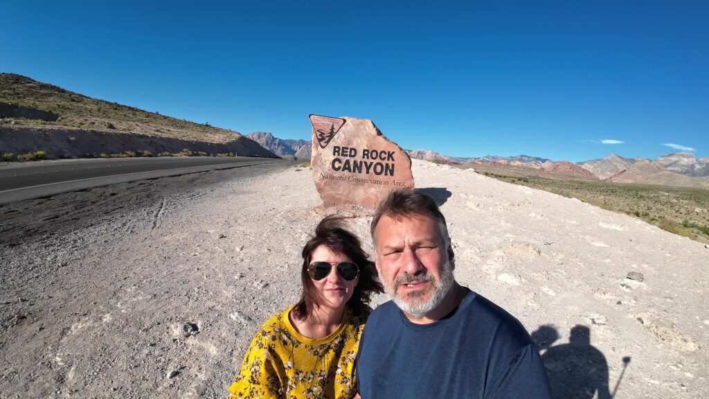
Park Entrance
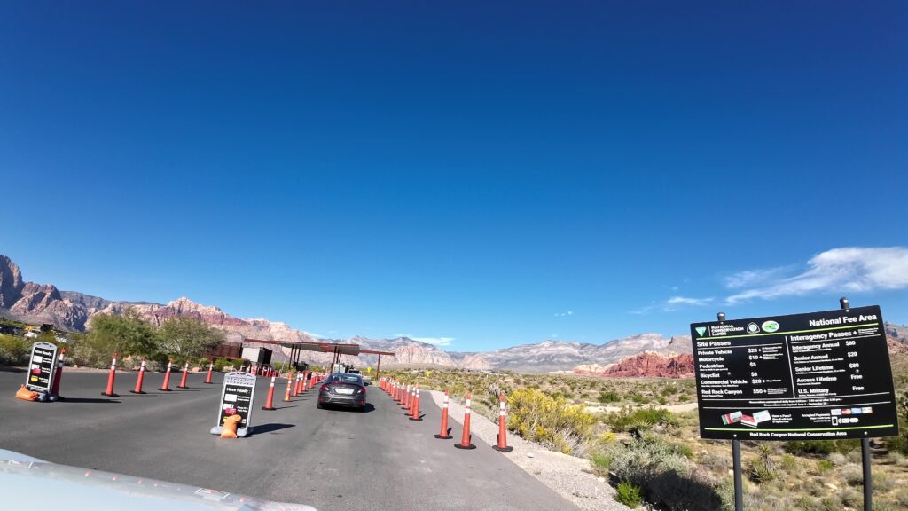
You will proceed up to the park entrance. Please note there is an entrance fee of $20 per vehicle for a day pass. The entry fee for Motorcycles is $10 per day, and bicycles are $8 per day.
Note: Between October through May, you are required to purchase tickets online with a time reservation as you will not be able to just show up and hope you can get in during this period. You can check the Red Rock Canyon website for more information.
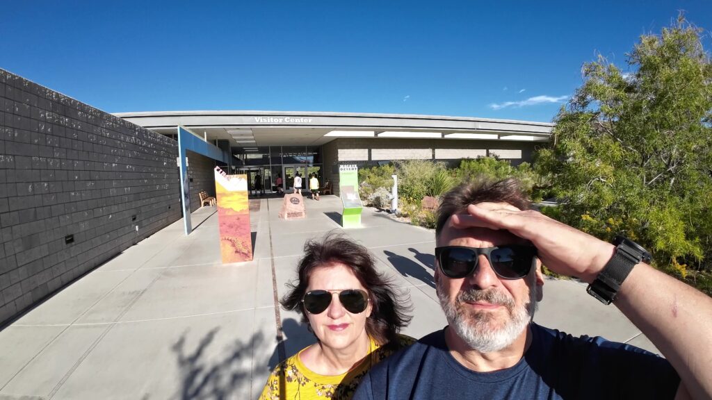
Red Rock Visitor Center
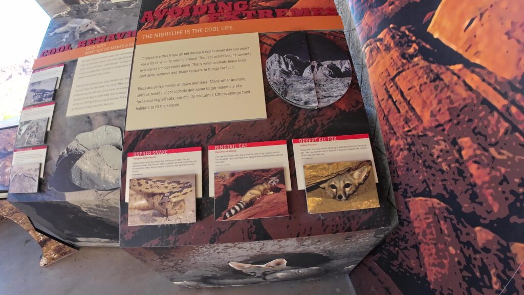
The Visitor Center contains a lot of interpretive signs and other very useful information. It’s recommended to stop at the Visitor Center.
Sandstone Quarry Parking Lot
Once you leave the Visitor Center, you will be entering the 13-mile one-way Red Rock Canyon scenic drive loop. You will proceed about 3 miles to the Sandstone Quarry Overlook pull-off. Once you get here, grab a parking spot in the Sandstone Quarry Parking Lot and proceed to the Sandstone Quarry railhead where the sign indicates “Calico Tanks Trail”.
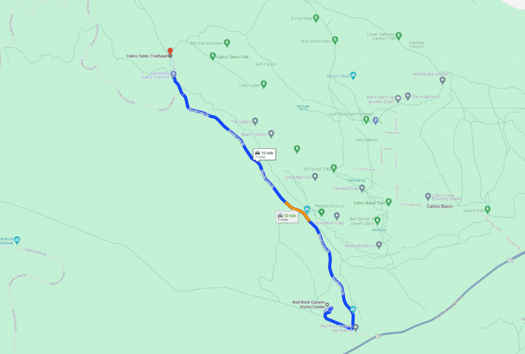
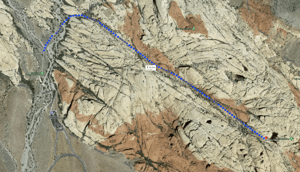
The following map just shows the general direction and tracking of the trail. There are more 3-dimensional aspects to the trail than the map shows, but at least this gives you a good idea of where the Calico Tanks hike will be taking you. This is one of the park’s most popular hikes.
Closing
Las Vegas offers a great variety of fun that’s not just on the strip. The Red Rock Canyon and the Valley of Fire State Park are two examples of attractions that offer tons of fun and adventure just right outside of Las Vegas. And look, if you like this content, you want to check out all our other videos covering attractions near Las Vegas, like the Valley of Fire State Park, Grand Canyon West Rim, and all the other videos we have on our Travel with D and E YouTube channel.
Do us a favor and subscribe that way you know when we publish a new post. Share it with your family and friends. Don’t forget to put a comment below if you’ve stopped here at Calico Tanks Trail before. Give us your thoughts and your opinion on the site. Thanks for watching and as always we will see you in the next post.

Leave a Reply